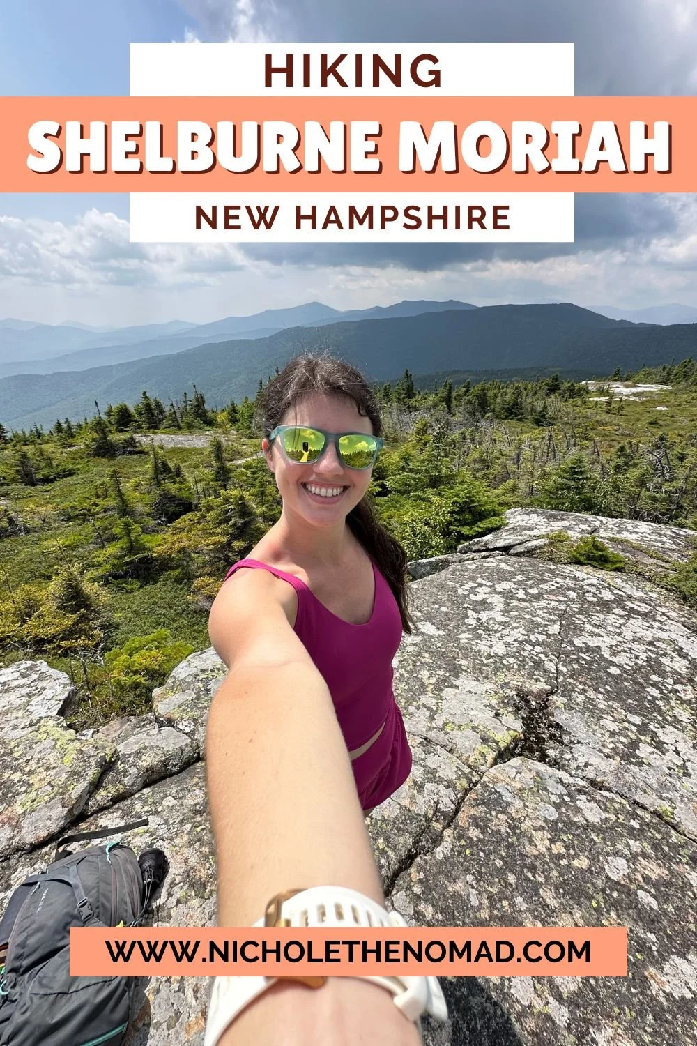
Shelburne Moriah Mountain via Rattle River Trail
Disclaimer: This post contains affiliate links. If you click through and make a purchase, my blog may receive a commission at no additional cost to you.
Shelburne Moriah Mountain Hike Overview
Shelburne Moriah Mountain (3,743’) is in the northern section of the White Mountains near Gorham. It is the tallest mountain on the 52 With a View List, but one of the least hiked mountains on the list. The most popular trail to hike is the Rattle River Trail, which runs along the Appalachian Trail and is well-maintained. The trail becomes less maintained and a bit overgrown once it turns off the AT and onto the Kenduskeag Trail. But the views are spectacular and are a great reward for your effort!
Trail Details
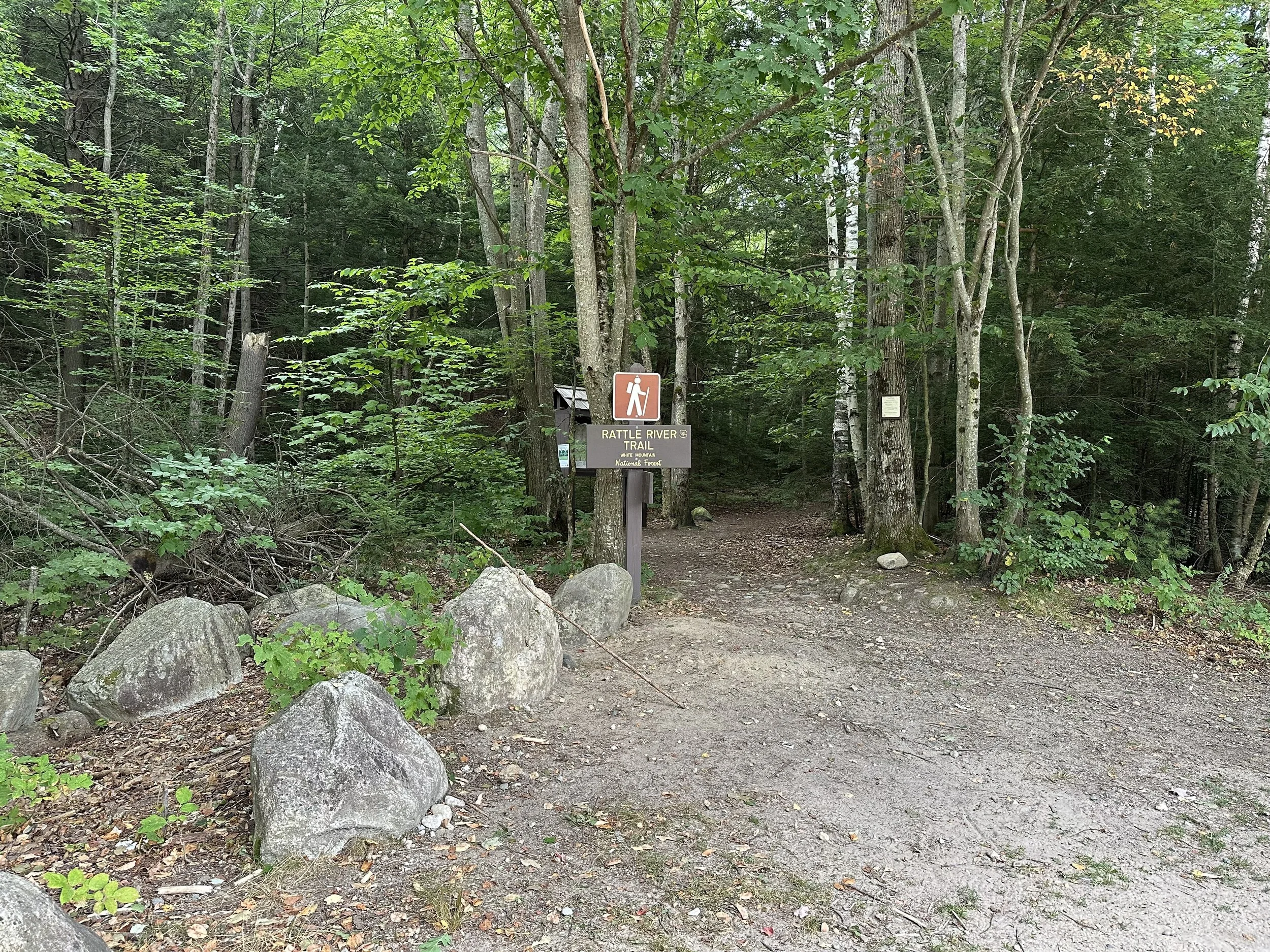
Trail: Rattle River Trail > Kenduskeag Trail
Length: 11.2 miles
Elevation Gain: 3,100 feet
My Trail Time: 6 hours hiking; 7 hours total
Hike Overview
Shelburne Moriah Mountain is one of the least hiked mountains on the 52 With a View List, but the views are spectacular looking west towards the White Mountains. A few trails lead to the summit, with the most popular being the Rattle River Trail. The Rattle River Trailhead is off Route 2 just outside Gorham and has a relatively small parking lot.
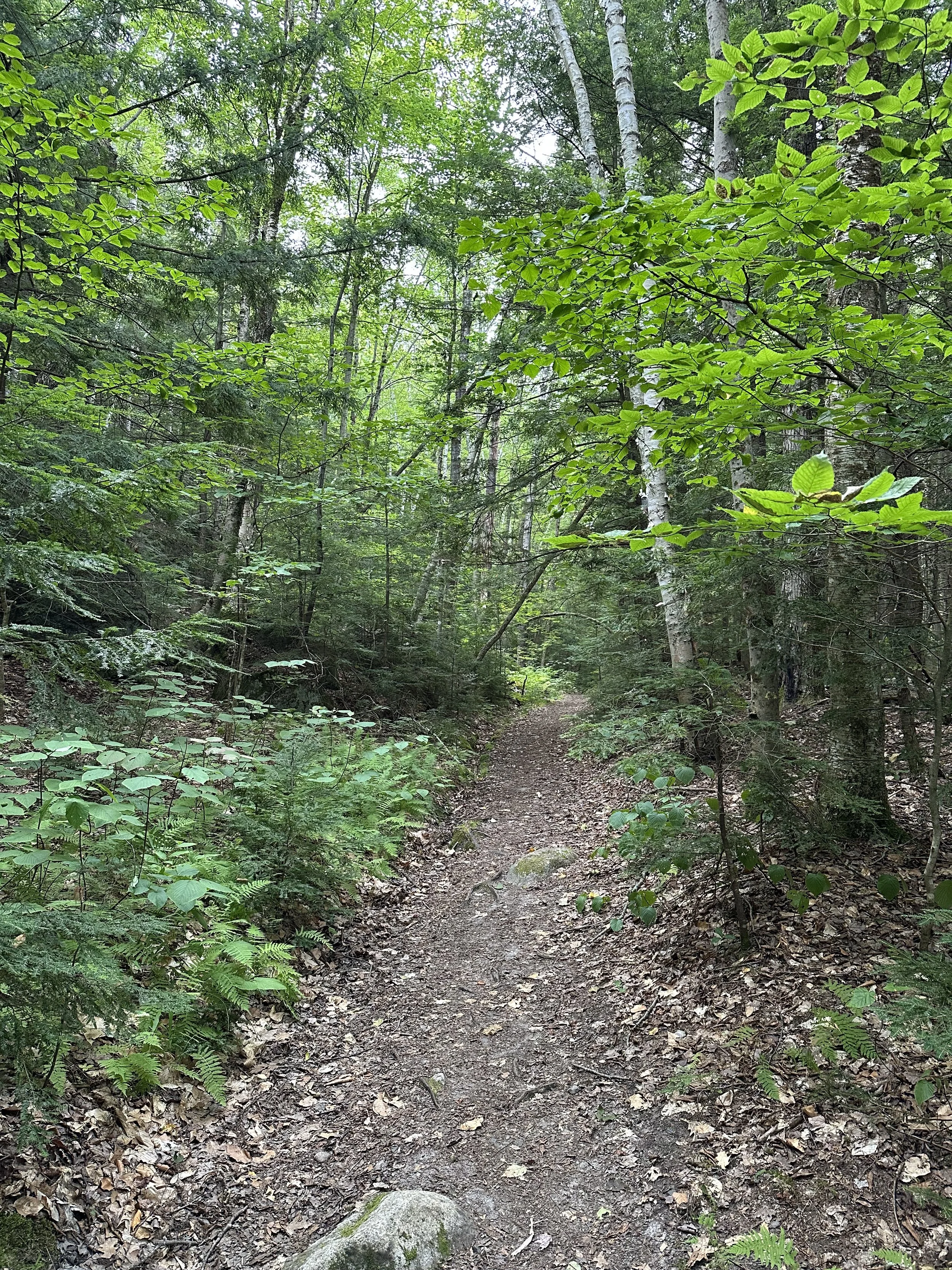
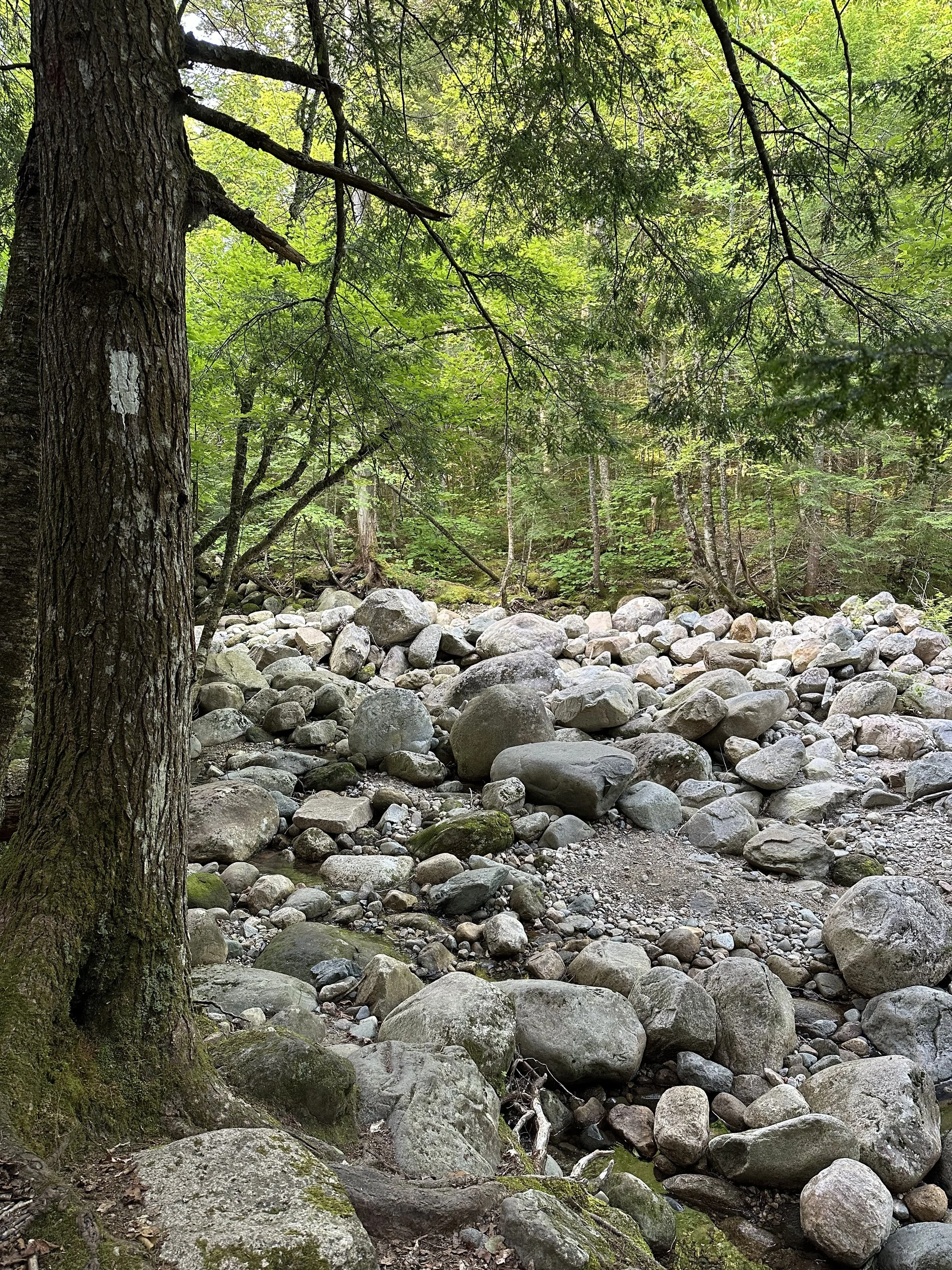
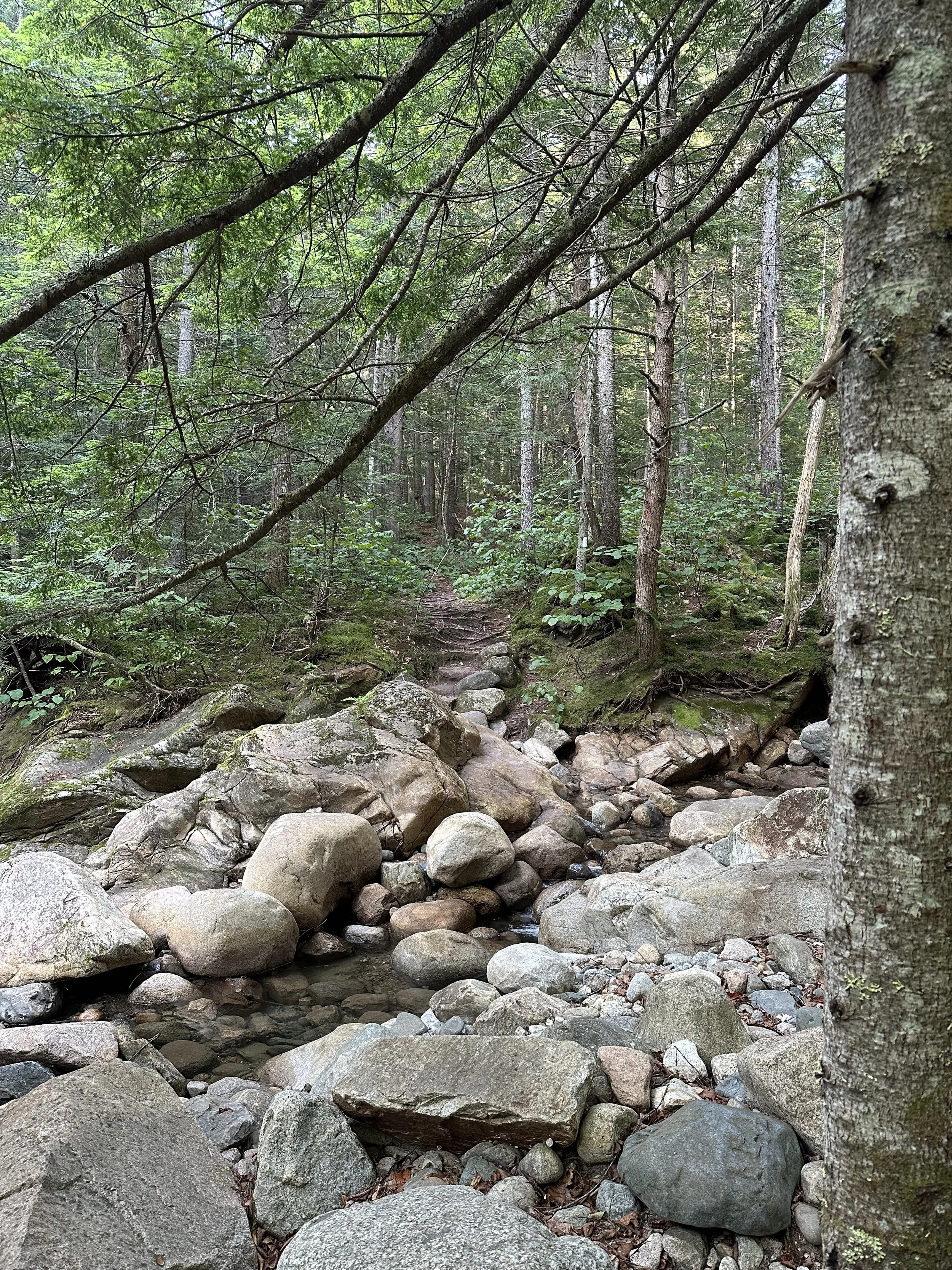
Rattle River Trail runs along the Appalachian Trail for the first 4 miles of the hike and is well-maintained with a fairly gradual incline until the mile, which is much steeper. Rattle River Trail also has a few river crossings that are difficult to cross when the river is high.
Rattle River Trail eventually turns left onto the Kenduskeag Trail. The rest of the hike on Kenduskeag Trail is fairly gradual, but it has a few areas that are overgrown with spruce trees. It will make you feel like you are bushwhacking!
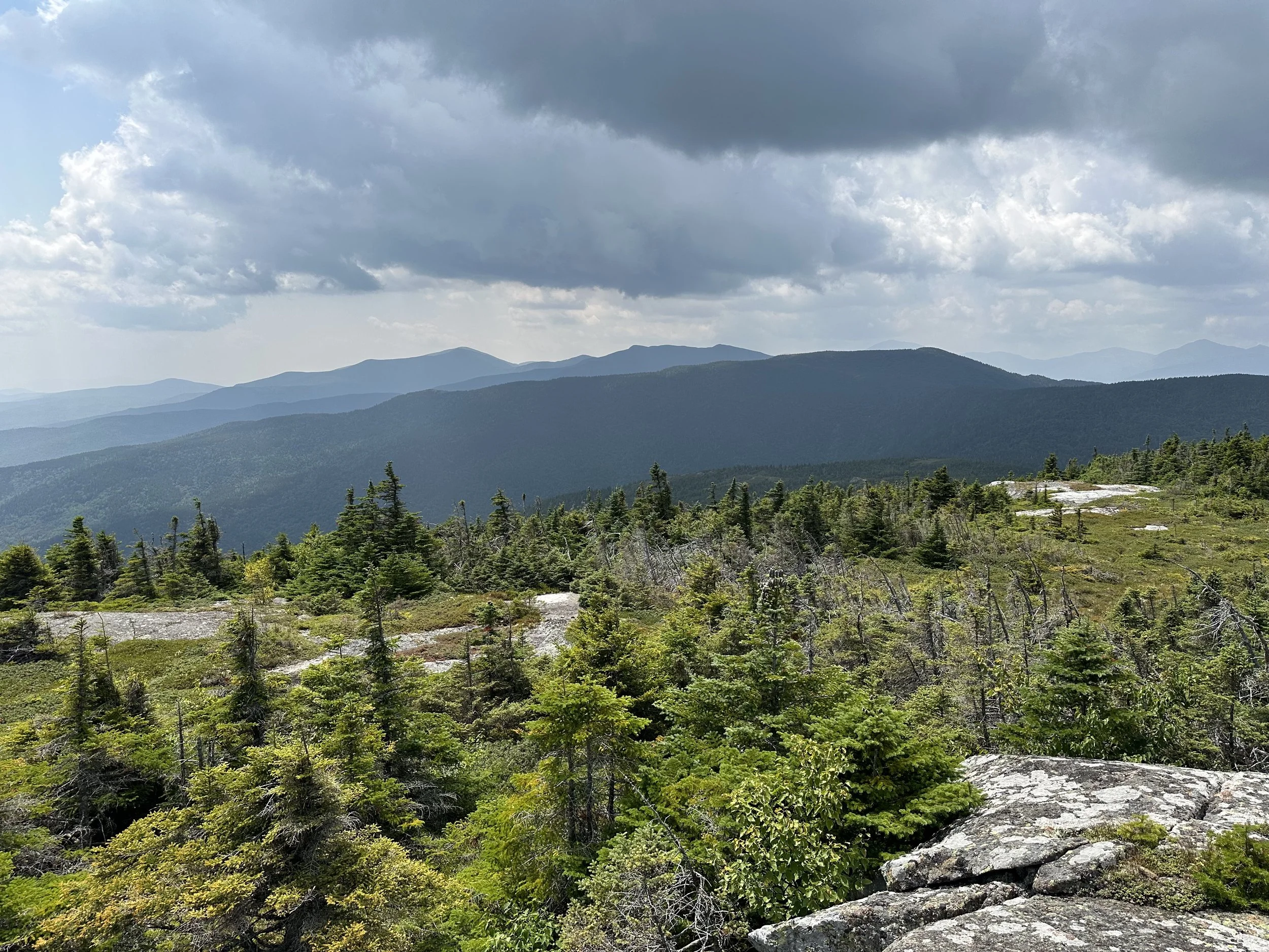
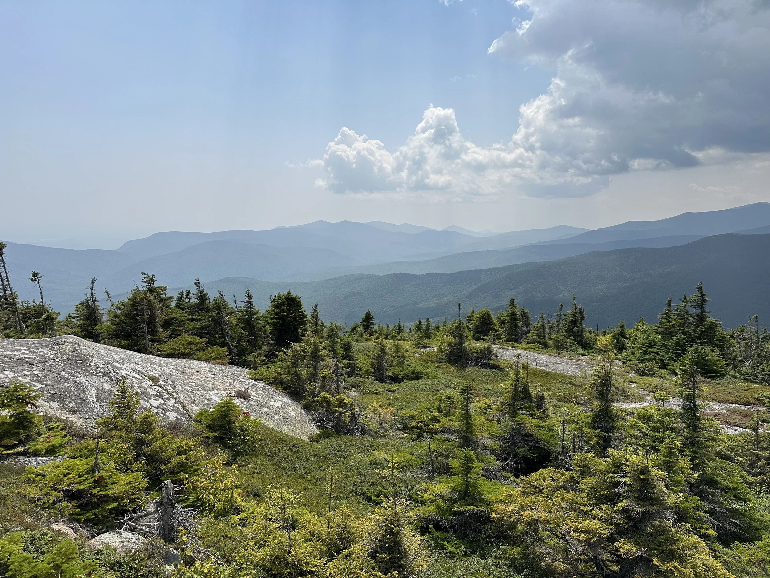
The Kenduskeag Trail also travels above the treeline before the summit, giving you a sneak peek of the views. And once you arrive on Shelburne Moriah Mountain, you are rewarded with beautiful views looking into the White Mountains.
Looking to track your hikes while completing the 52 With a View List?
Whether you're chasing stunning summit views or documenting your adventures, this journal helps you track essential hike details, jot down memories, and reflect on your journey!
Each journal includes:
- individual pages for each mountain
- space to log stats about the hike
- sections to journal about your favorite moments
- completion tracker to celebrate your progress
- and fun extras like Hiking Bingo!

Shelburne Moriah Mountain via Rattle River Trail Trail Guide
August 9, 2025
**Always remember to leave no trace. It is crucial to pack out what you pack in and throw away your trash properly.
Shelburne Moriah Mountain was the last hike on the 52 With a View List for me, so I was excited to finally hike it! I had been putting this hike off for a while because the trail reviews were always few and far between, and when I did find a recent trail review, it either said how awful the trail was or how beautiful it was. I was not sure what to expect, so I kept it for last.
We decided to finally hike Shelburne Moriah Mountain on a beautiful Saturday in August because the weather looked perfect - blue skies, slight breeze, and temperatures in the 70s. Since it had not rained recently, we also knew the river crossings would be a lot easier.
We started the hike at 7:30 AM and arrived at an almost full parking lot. The Rattle River Trail parking lot was small, and we heard it is almost always full because it is along the AT. We were glad we arrived when we did to grab a few of the last spots!
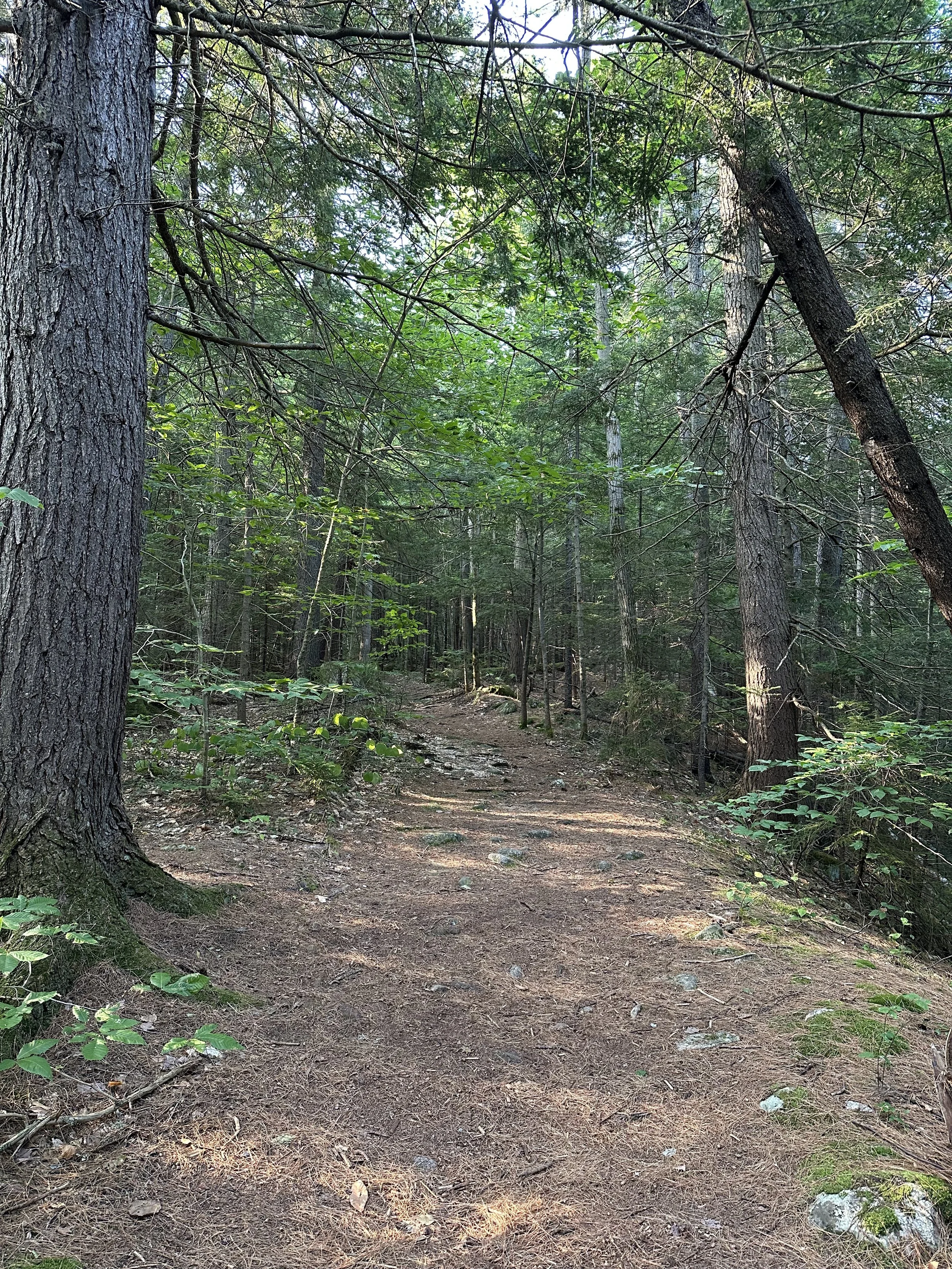
The first three miles on Rattle River Trail were incredibly gradual. I think we gained a total of 1,200 feet in the first three miles, which is pretty unheard of for New Hampshire trails. It was a nice warm-up for our legs for the steep sections to come!
The first section of the Rattle River Trail also followed along the river and crossed it several times, but it was incredibly easy to cross this time of year with the water so low. I heard that in the spring or after heavy rainfall, these crossings can be difficult to cross.
At about 1.5 miles into our hike, we passed the Rattle River Shelter, which was packed. About 20 people were camping, and we only saw five other hikers after the shelter, so we assumed most of the cars in the parking lot were those staying at the shelter. Once we passed the shelter, the trail continued to follow the river before crossing it again and beginning to climb more steadily for the next mile.
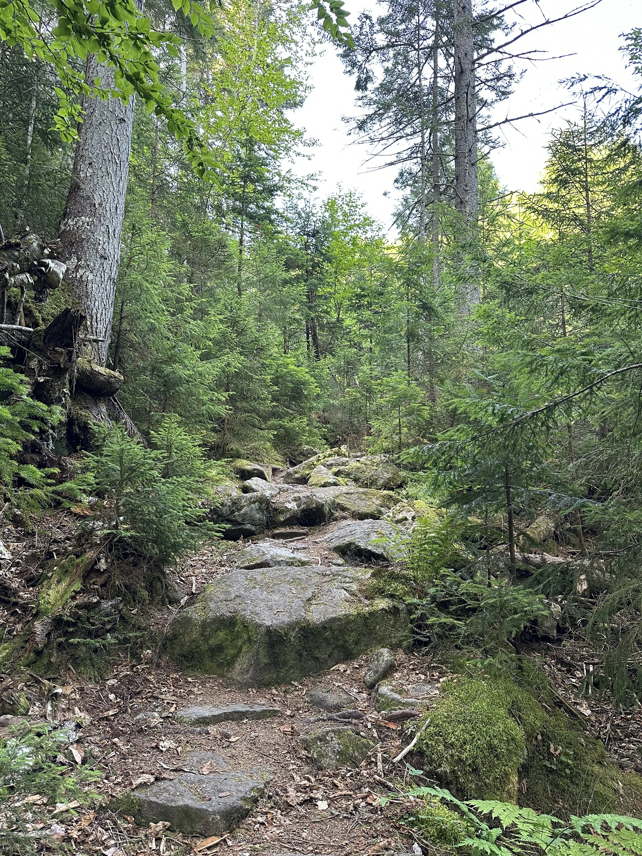
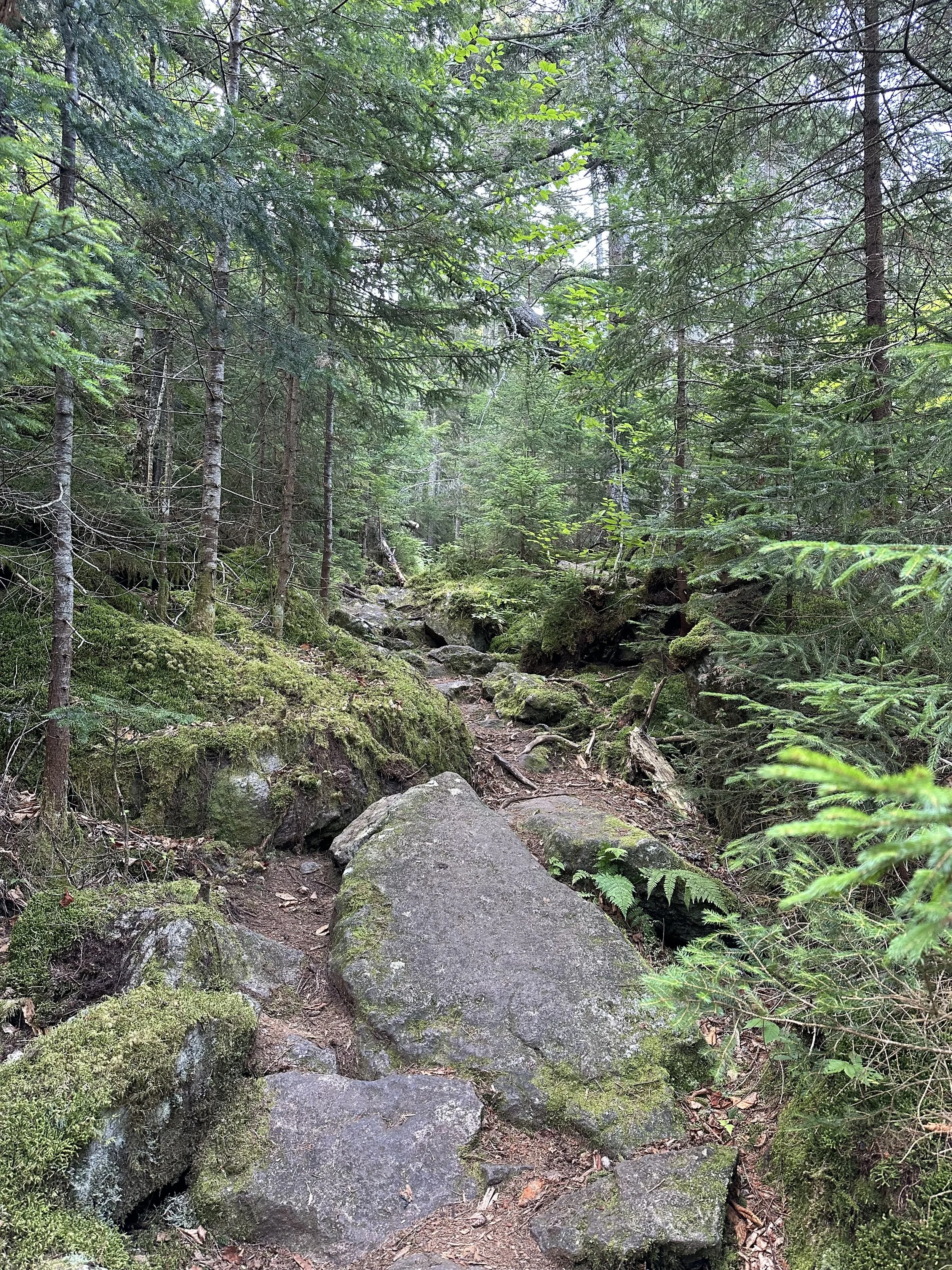
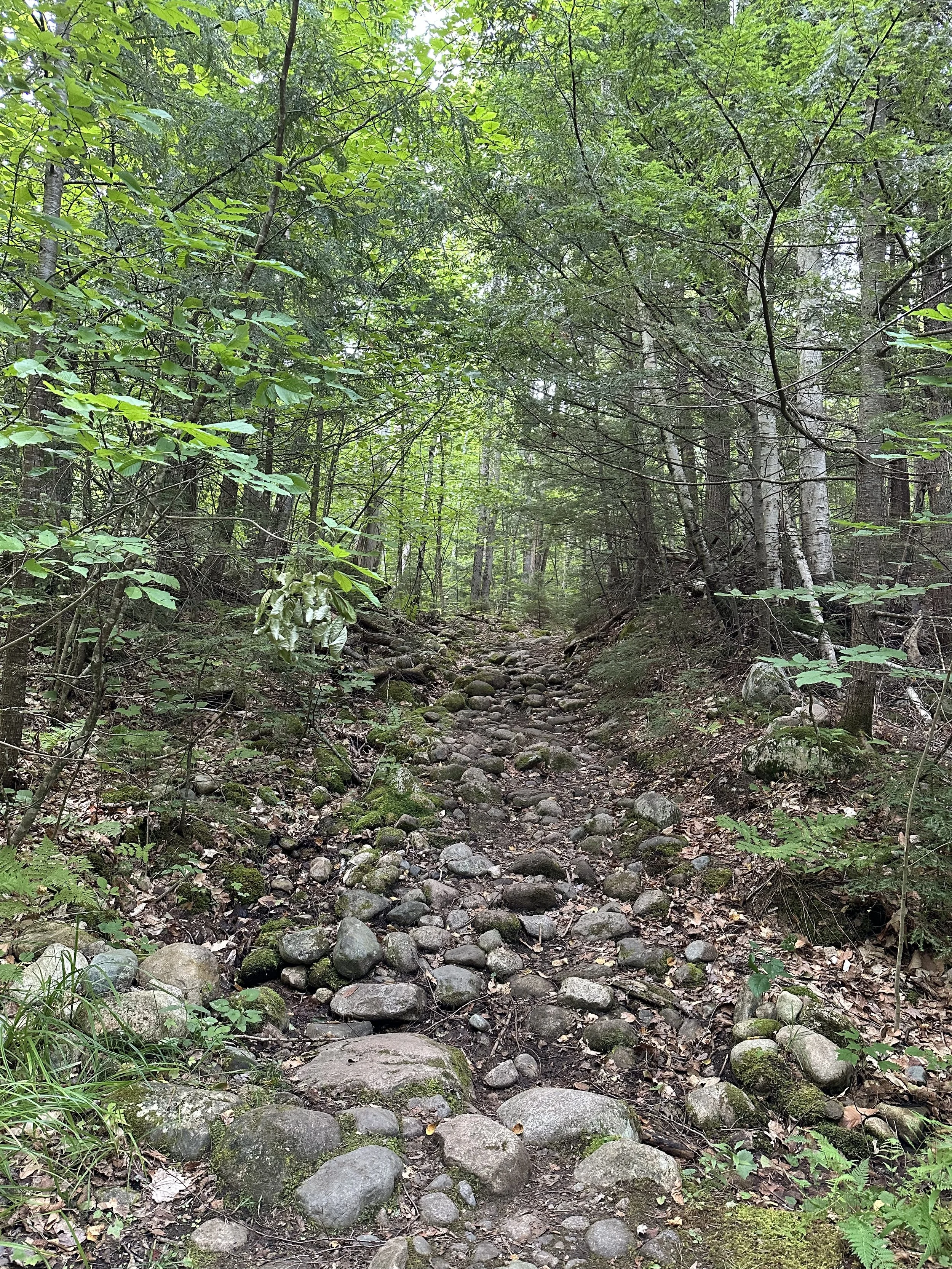
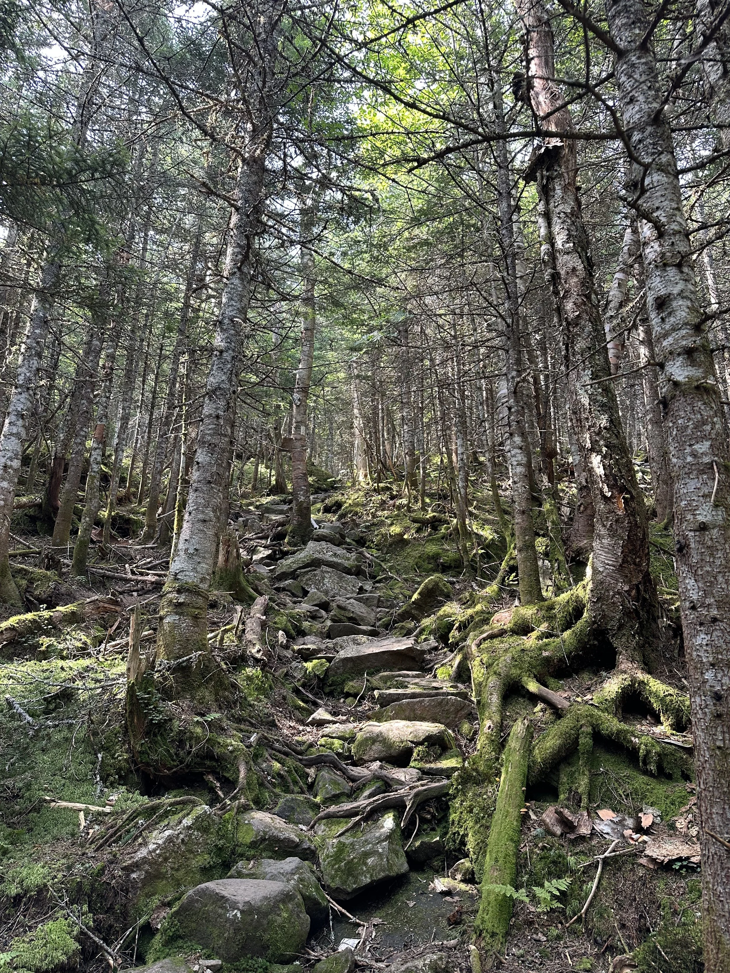
Once we hit the three-mile mark, the trail immediately began to climb steeply. The trail had a lot of rock steps, making it a little bit easier. With the temperature rising and the lack of wind, it was safe to say we were very sweaty, haha.
This final mile before reaching the Kenduskeag Trail junction felt never-ending. I think the heat and the steep incline created that illusion, but it took us a bit to get up this section. And the very last section, just before the junction, was the steepest, making us keep our heads down and not look up until it was over, haha.
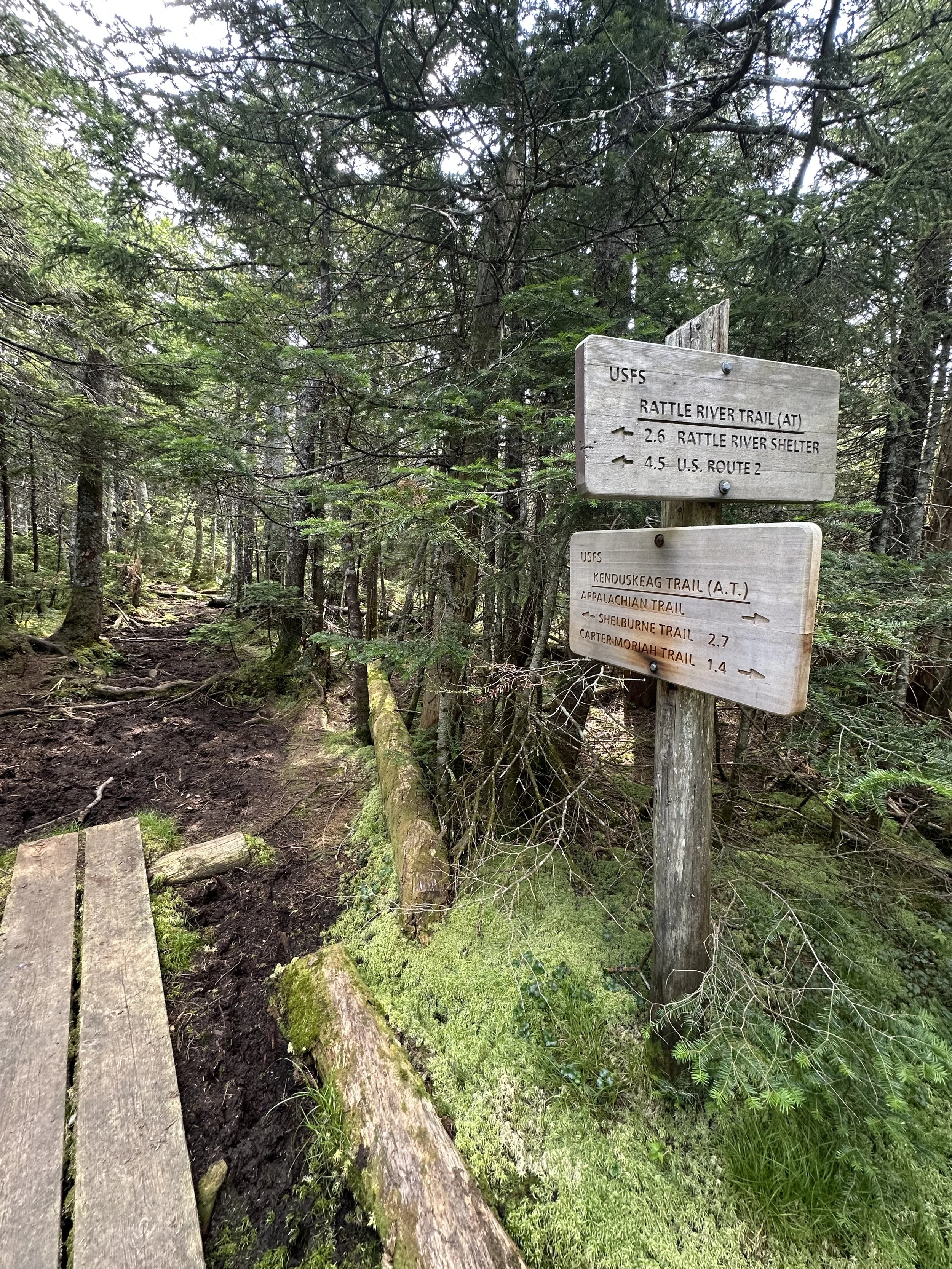
Once we reached the Kenduskeag Trail junction, we turned left to continue to Shelburne Moriah Mountain. If we turned right, we could have hiked over to Mount Moriah.
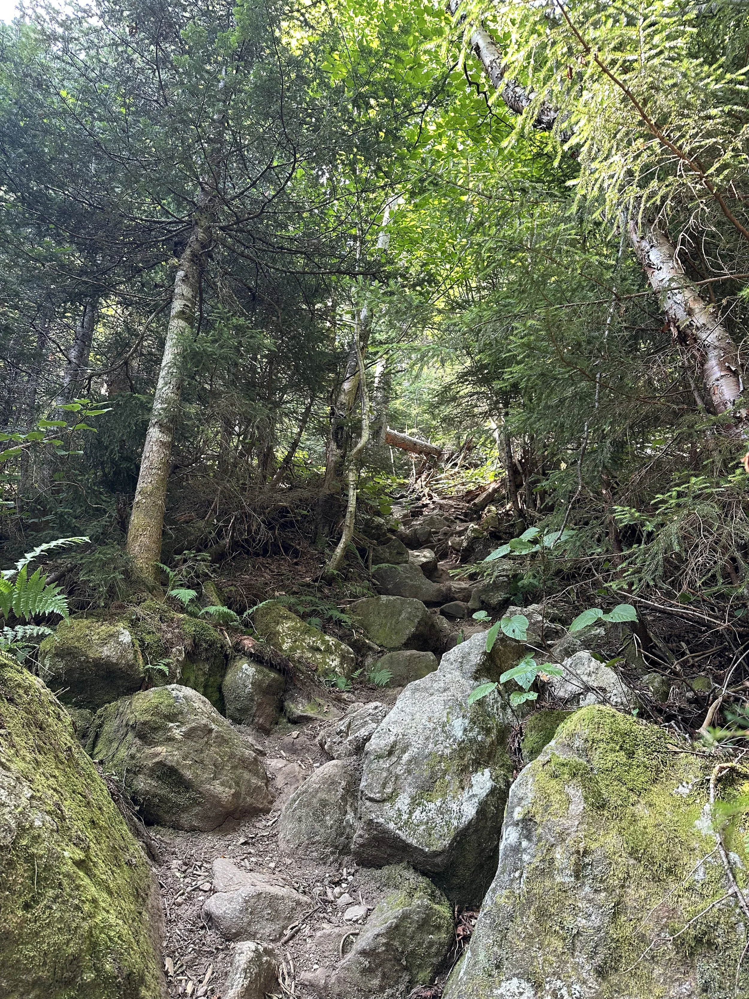
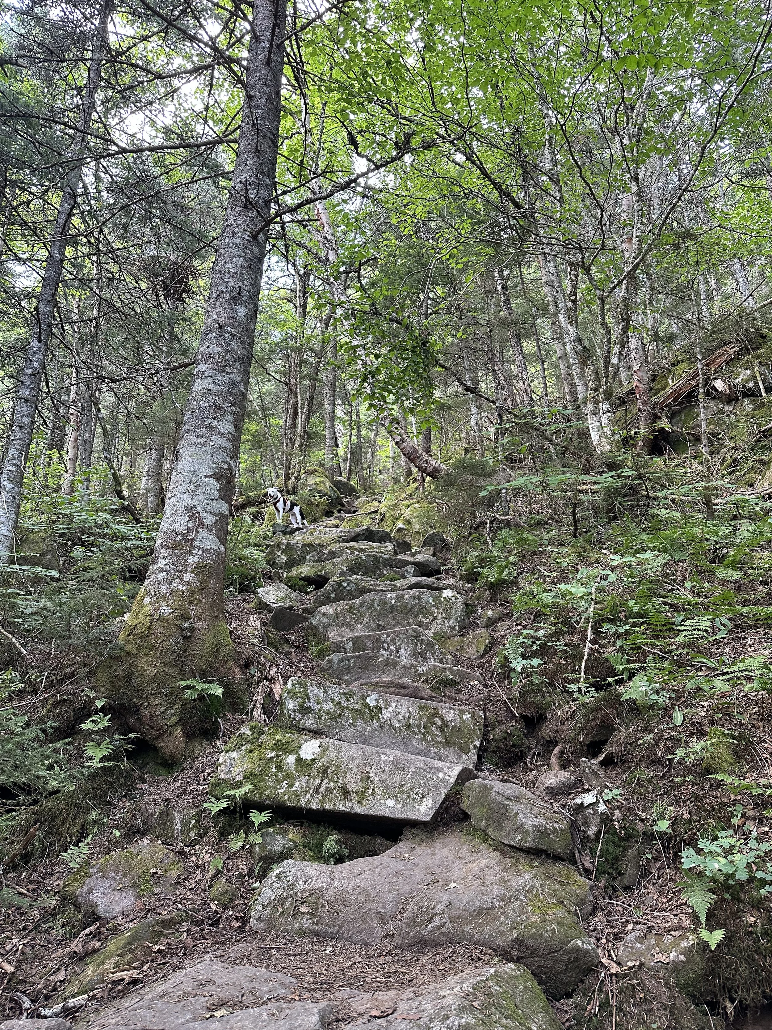
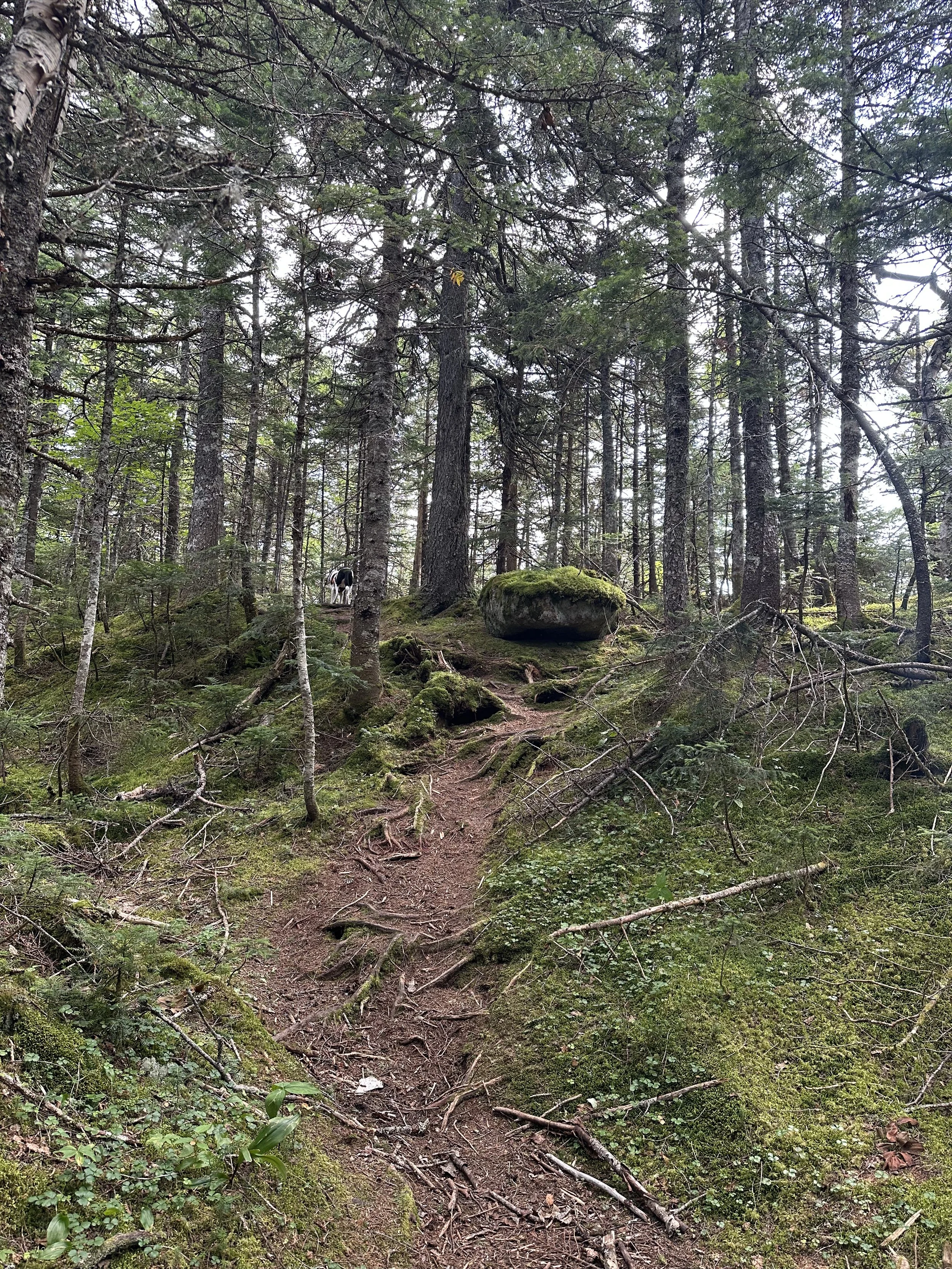
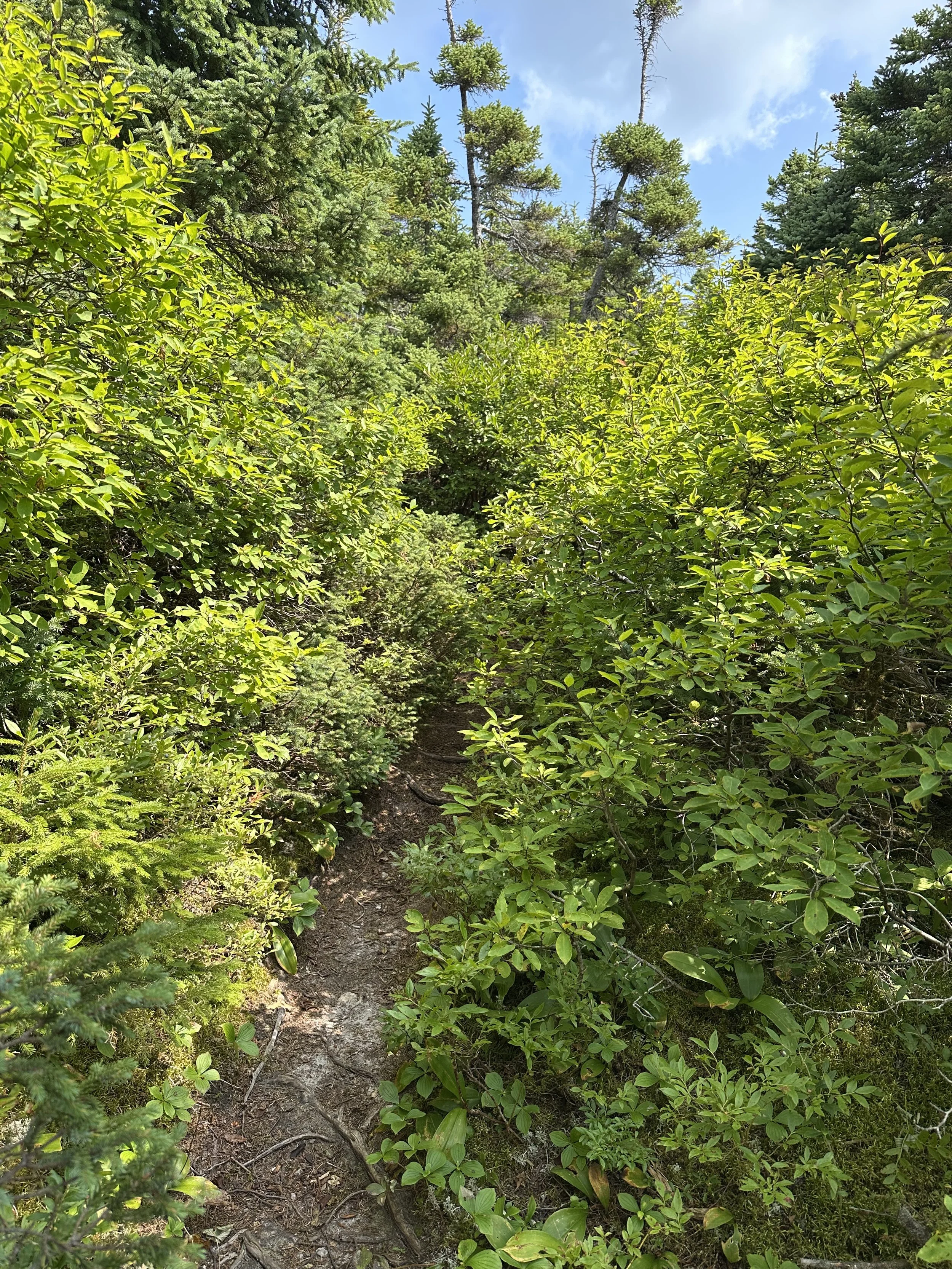
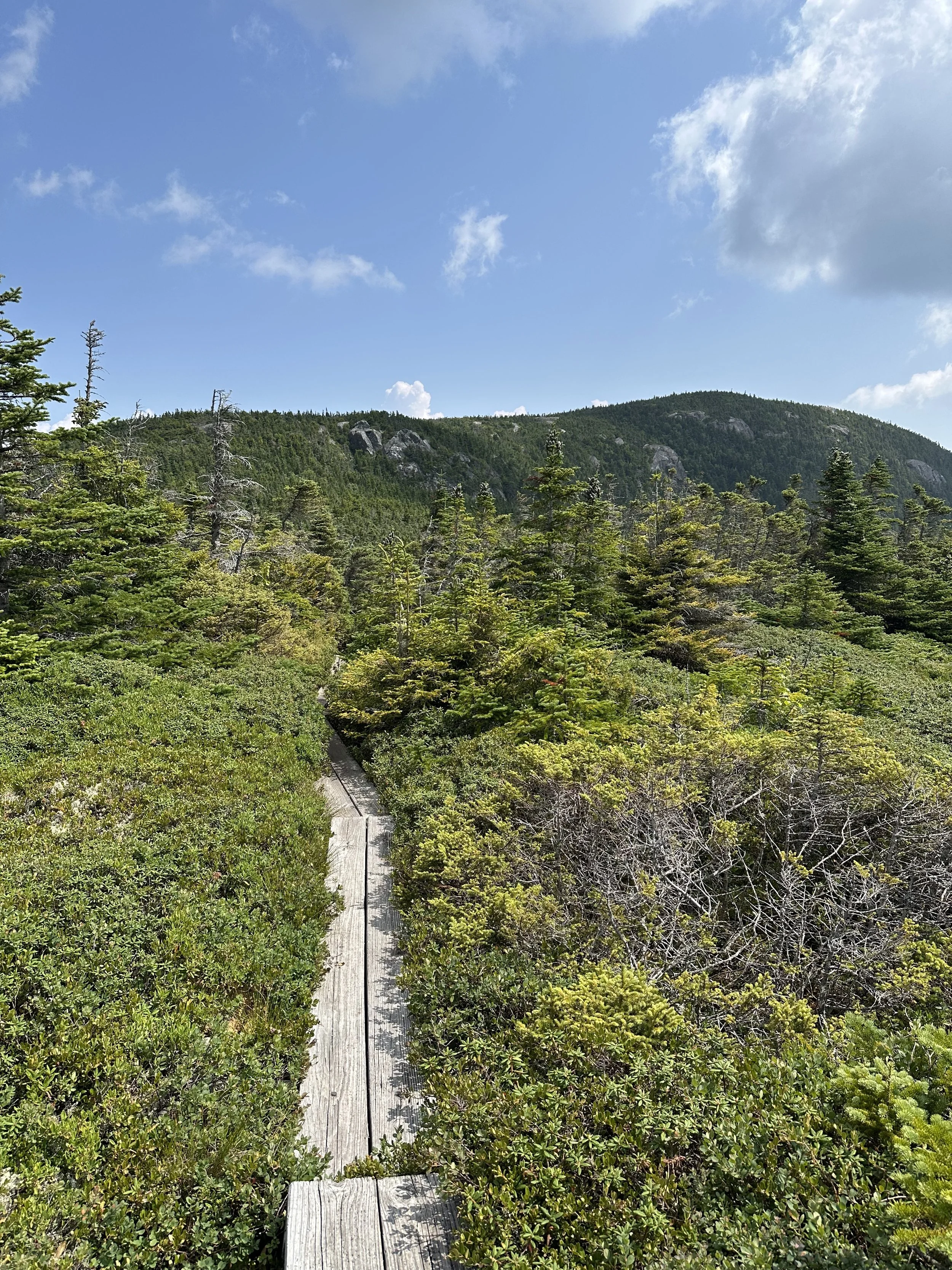
The Kenduskeag Trail was… interesting to say the least. The trail was stunning and very green, but it was a bit overgrown in spots and very muddy in others. The trail had sections of spruce trees that were all up in the trail to the point we could not really see where we were putting our feet. These trees were relentless, and we have battle scars from this section (we were covered in scratches).
Once we got closer to the summit of Shelburne Moriah Mountain, we hiked above the treeline and got a sneak peek of the views. We could also see the summit, which looked further than it was.
This section also had some wooden bridges through a bog. We saw what looked to be a few mishaps on this section with people stepping into the bog, and let me tell you, it looked like mud that would suck your shoe right off your foot. Safe to say we made sure that was not us, haha.
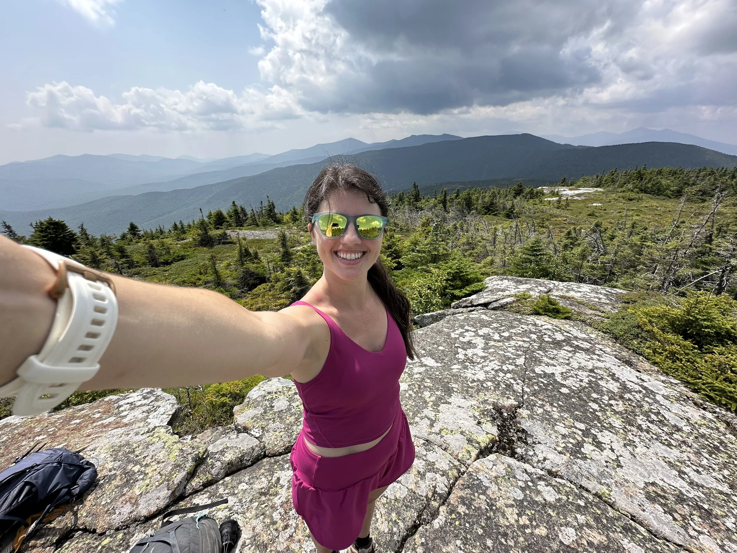
The last section of the Kenduskeag Trail climbs steadily above the treeline, and before we knew it, we were at the summit of Shelburne Moriah Mountain! And I was officially done with the 52 With a View List! The views were stunning, looking west into the White Mountains! The breeze finally picked up, which we were thankful for since the sun was extremely hot, and we sat at the summit for a while enjoying our snacks and the views.
It felt crazy to finally complete the 52 With a View List. I unknowingly started this list many years ago and quickly fell in love with it. I found some of my favorite hikes from the list, and it was just so much fun to complete.
After enjoying ourselves on the summit, we decided to begin our hike down. The hike down was a lot quicker than the ascent, and we were making good time until a rain cloud moved in. Every forecast we saw did not show any hint of a shower, so we were shocked, but prepared. It was a good reminder that the weather is unpredictable!
Before we knew it, we were back along the Rattle River and taking a moment to put our feet in the water. There is nothing better than soaking your feet in a cold river after a long hike.
We stayed at the river for a little bit, enjoying ourselves, before packing up and finishing the hike. We did not pass anyone on our descent until we were near the shelter, which just showed how few people hike Shelburne Moriah Mountain. And before we knew it, we were back at the packing lot!
I honestly enjoyed the hike to Shelburne Moriah Mountain more than I expected! The trail was incredibly lush, and the views were stunning. I will definitely be back to hike it again!
Have you hiked Shelburne Moriah Mountain?

Hey, I’m Nichole!
I am the creator behind Nichole the Nomad, the home of my explorations around the world, mountain hikes, and beautiful pictures taken along the way. I have a deep passion for capturing the world in a beautiful light and sharing my experiences.
I created this blog to share my travels, show how beautiful the world is, provide tips and tricks for traveling, and encourage you to explore. Whether you want to travel across the world or explore what’s in your backyard, I hope this blog inspires you to get outside and find your adventure!