Magalloway Mountain NH via Coot Trail

Disclaimer: This post contains affiliate links. If you click through and make a purchase, my blog may receive a commission at no additional cost to you.
Magalloway Mountain NH Hike Overview
Magalloway Mountain (3,385’) is the northernmost mountain on the 52 With a View List, located only a half hour from the Canadian border. Although the drive is long to get to the trailhead, the views are spectacular, looking into Canada, Maine, Vermont, and New Hampshire. Magalloway Mountain has a fire tower offering 360-degree views and an overlook past its summit with more stunning views.
Trail Details
Trail: Coot Trail
Length: 2 miles
Elevation Gain: 850 feet
My Trail Time: 1 hour hiking; 1.25 hours total
Hike Overview
Magalloway Mountain is near the small town of Pittsburg, New Hampshire near the Canadian border. It is a long drive to the trailhead and requires you to drive on dirt roads no matter where you come from, but they were in great shape when we hiked Magalloway Mountain.
Magalloway Mountain has two trails leading to its summit, Coot Trail and Bobcat Trail, and you can hike these as a loop or as an out-and-back on either trail. Both trails are about 1 mile one-way to the summit, but do not let the short mileage fool you! The trails are steep and make you work for the views.
Once you arrive at the summit, you can climb the fire tower to get 360-degree views or hike past the summit to an overlook. I recommend doing both because the views are breathtaking, especially on a clear day!
Looking to track your hikes while completing the 52 With a View List?
Whether you're chasing stunning summit views or documenting your adventures, this journal helps you track essential hike details, jot down memories, and reflect on your journey!
Each journal includes:
- individual pages for each mountain
- space to log stats about the hike
- sections to journal about your favorite moments
- completion tracker to celebrate your progress
- and fun extras like Hiking Bingo!

Magalloway Mountain NH via Coot Trail Guide
June 14, 2025
**Always remember to leave no trace. It is crucial to pack out what you pack in and throw away your trash properly.
I kept putting off Magalloway Mountain because the drive is just SO long to get to Pittsburg, New Hampshire. But I finally decided to check it off the 52 With a View List on a beautiful Saturday in June.
The drive to the trailhead actually was not as bad as I thought it would be. We were on dirt roads for almost 20 miles, but they were in great shape and had beautiful views of the surrounding mountains. The road leading to the trailhead had a few blowdowns, but most were easy to navigate around or had recently been pulled off the side as much as possible.
When we finally arrived at the trailhead, we were surprised to see seven cars. I am not sure why I thought we would be the only ones there, but I was still surprised to see so many cars. Although the parking lot is small, we had no trouble finding a spot.
Our original plan was to hike the loop, ascending Coot Trail and descending Bobcat Trail, but after I saw recent reviews saying the Bobcat Trail was not in great condition with a lot of blowdowns, we decided to do an out-and-back via Coot Trail.


The Coot Trail to Magalloway Mountain started at the end of the parking lot and immediately began to climb steeply. The trail gains about 850 feet of elevation in 0.8 miles, following an old Jeep Trail to Magalloway Mountain's fire tower. I knew this trail was short and steep, but it ended up being far more steep than I thought. It had our calves burning, and the loose rocks made for tricky footing!


We just put our heads down and climbed the short trail, and before we knew it, we were approaching the summit of Magalloway Mountain! The trail right before the summit flattened out and traveled through a beautiful forest before bringing us to the fire tower.


Although the summit of Magalloway Mountain did not have views, its fire tower offered breathtaking 360-degree views. Because it was a clear day, we could see into New Hampshire, Maine, Vermont, and Canada.


Once we finished exploring the fire tower, we continued past the summit following the overlook signs. The trail to the overlooks was only about 0.2 miles and descended slightly to a few viewpoints.
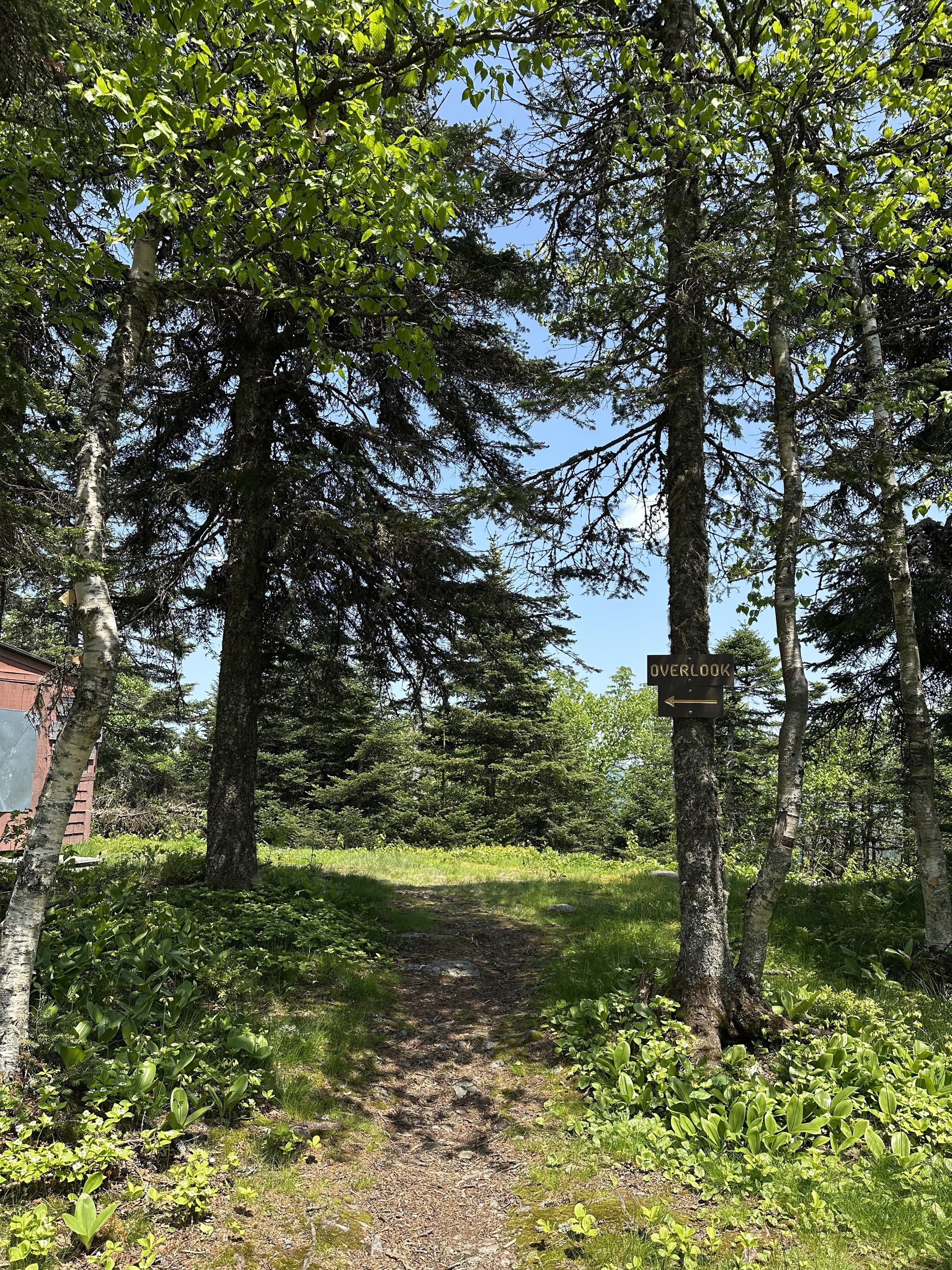

We found two overlooks, and both had spectacular views. We lucked out with having such a clear day to hike. Both overlooks were very small with incredibly steep drop-offs, so we used a lot of caution walking to them.


The bugs were pretty awful, so we did not spend too much time at the overlooks. We quickly hiked back towards Magalloway Mountain before beginning our descent on Coot Trail.
As I mentioned, the Coot Trail was incredibly steep with a lot of loose rock. It made for tricky footing going down, but it was not overly awful. And we had some views as we descended which helped!


We only passed a handful of hikers on our ascent, so we assumed most of them took the Bobcat Trail down. We were the only ones descending on the Coot Trail, which made it peaceful. And before we knew it, we were back at the parking lot and getting ready to head home!
Magalloway Mountain had breathtaking views, but it is one of those mountains I probably will not hike again because of the long drive. I have heard it is stunning in the fall, so maybe one day I will spend some time in the Pittsburg area to hike it again with peak foliage!
Have you hiked Magalloway Mountain?

Hey, I’m Nichole!
I am the creator behind Nichole the Nomad, the home of my explorations around the world, mountain hikes, and beautiful pictures taken along the way. I have a deep passion for capturing the world in a beautiful light and sharing my experiences.
I created this blog to share my travels, show how beautiful the world is, provide tips and tricks for traveling, and encourage you to explore. Whether you want to travel across the world or explore what’s in your backyard, I hope this blog inspires you to get outside and find your adventure!