Table Mountain NH via Attitash Trail
Disclaimer: This post contains affiliate links. If you click through and make a purchase, my blog may receive a commission at no additional cost to you.
Table Mountain NH Hike Overview
Table Mountain (2,669’) is a beautiful mountain near Bartlett along Bear Notch Road, offering beautiful views overlooking the surrounding mountains. It is a lesser-known hike but is increasingly becoming popular because it was added to the 52 With a View List in 2020.
Trail Details
Trail: Attitash Trail
Length: 3.5 miles
Elevation Gain: 1,400 feet
My Trail Time: 1.75 hours hiking; 2.25 hours total
Hike Overview
The Attitash Trail travels through a beautiful forest along a stream and provides multiple overlooks with expansive views looking south. The trail gains over 1,300 feet of elevation, most of which is on the last section of the trail. As you approach the summit, the trail has steep rock slabs and loose gravel, which can be tricky to ascend, especially when wet.
The trailhead is on Bear Notch Road, which is only open seasonally. Also, the parking lot is tiny, and although Table Mountain is still lesser-known, I recommend arriving early to secure a spot.
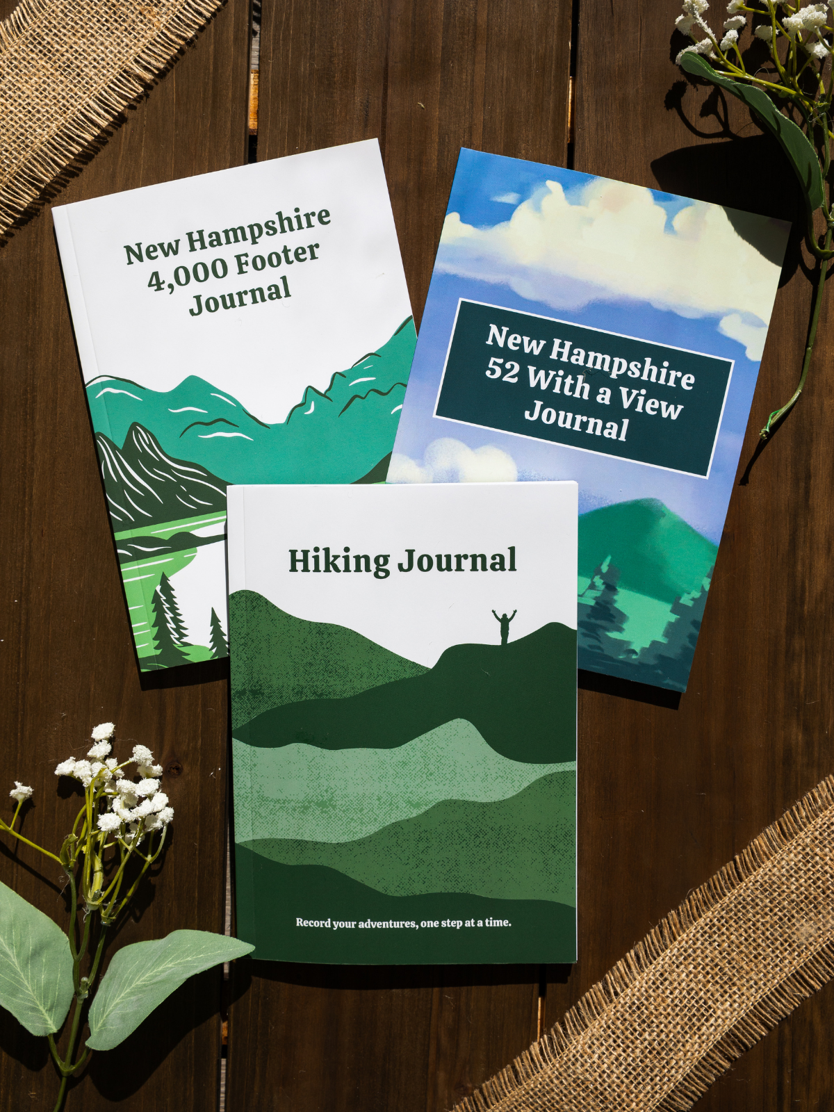
Looking to track your hikes while completing the 52 With a View List?
Whether you're chasing stunning summit views or documenting your adventures, this journal helps you track essential hike details, jot down memories, and reflect on your journey!
Each journal includes:
- individual pages for each mountain
- space to log stats about the hike
- sections to journal about your favorite moments
- completion tracker to celebrate your progress
- and fun extras like Hiking Bingo!
Table Mountain NH via Attitash Trail Guide
September 17, 2022
**Always remember to leave no trace. It is crucial to pack out what you pack in and throw away your trash properly.
Table Mountain has been on my bucket list since it was added to the 52 With a View List in 2020. I love the 52 With a View List because there are many underrated hikes! It was supposed to rain all weekend, but last-minute Saturday cleared up, so I decided to hike Table Mountain!
I began my day pretty late and did not arrive at the Attitash Trail trailhead until about 10 AM. The parking lot is very small, so I was lucky to park in the last spot. The weather was absolutely perfect, so I was one happy hiker when I started the hike to Table Mountain! The first half-mile of the trail was easy and gradually gained elevation. It was a beautiful walk through the forest along the stream, and there were a few small waterfalls nearby! I passed about four groups of people in this section, and I knew I would be one of the only hikers on the summit!
After about a half-mile, I reached the first steep section. I thought it would be nonstop after this section, but as soon as I reached the top, the trail leveled out before it began gradually ascending. But I knew from reading reviews that I still had some steep sections to climb. Once I reached the last half-mile of the trail, the steep sections began. This section traveled up exposed rock slabs and a lot of loose gravel. The loose gravel was difficult to ascend even with the trail being dry. Luckily, this section had multiple overlooks with beautiful views to distract me!
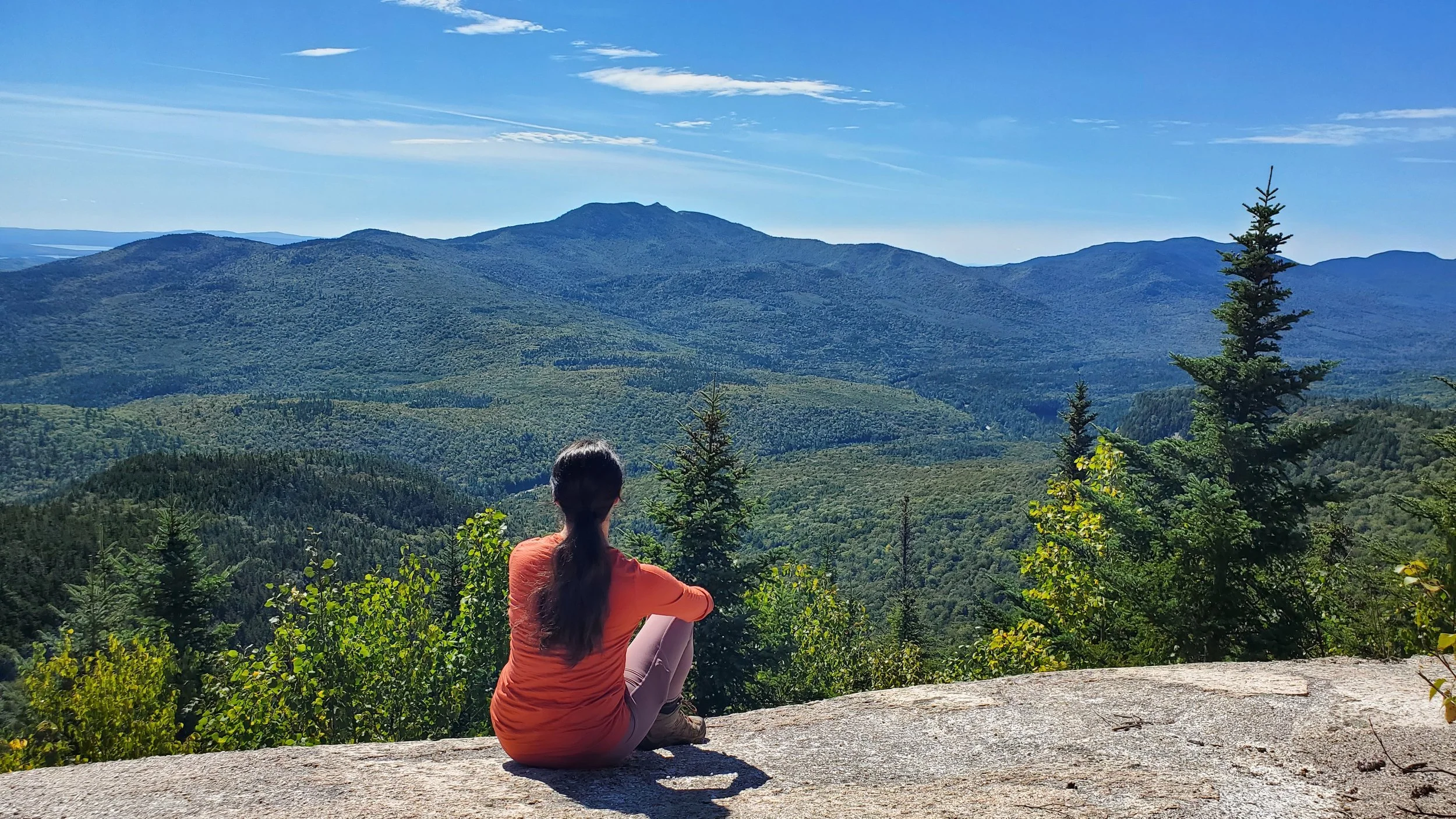
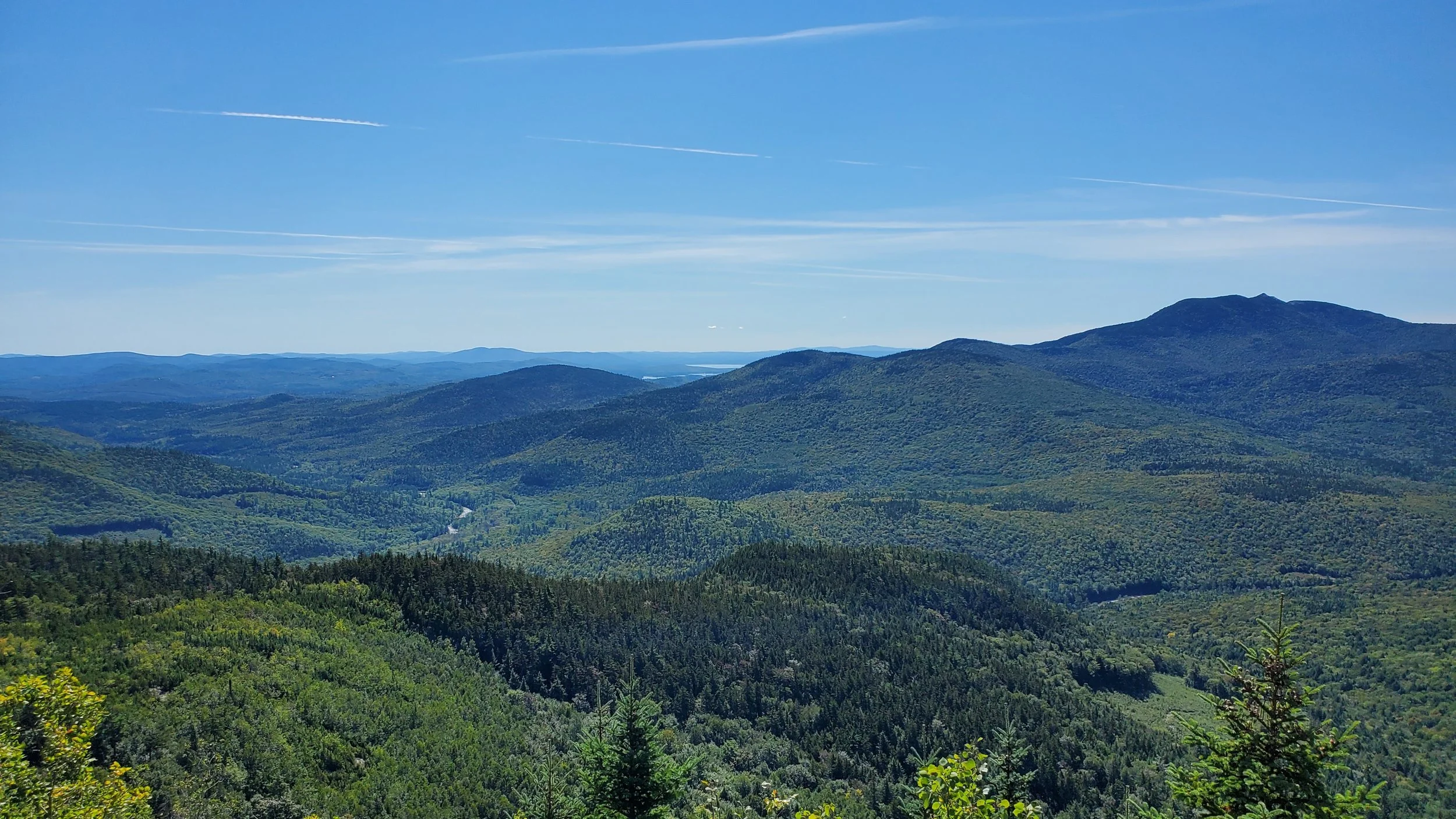
Just before the top, there was one final loose gravel section, which I was not excited to descend. Once I reached the top, I had breathtaking views looking south toward Mount Chocorua and the Kancamagus Highway! The views were incredible, and I was so happy to have hiked it on a clear day. I sat at the top for a half-hour, enjoying the views and talking with another group of hikers.
Before I left, I decided to try to find the actual summit of Table Mountain, which is a short walk past the final viewpoint. Then I began my descent, which I honestly was not excited to do. The loose gravel was difficult to descend, so I sat on my heels and slowly slid down each section. Once I was past the loose gravel sections, it was smooth sailing! I jogged the rest of the trail because I was feeling good, and the last mile was a fantastic trail for trail running. Soon enough, I reached the trailhead and decided to drive the rest of Bear Notch Road and enjoy the beautiful overlooks!
Table Mountain will be a mountain I revisit because it was not too difficult of a hike for the views! Have you hiked Table Mountain?
Hey, I’m Nichole!
I am the creator behind Nichole the Nomad, the home of my explorations around the world, mountain hikes, and beautiful pictures taken along the way. I have a deep passion for capturing the world in a beautiful light and sharing my experiences.
I created this blog to share my travels, show how beautiful the world is, provide tips and tricks for traveling, and encourage you to explore. Whether you want to travel across the world or explore what’s in your backyard, I hope this blog inspires you to get outside and find your adventure!


