Stinson Mountain via Stinson Mountain Trail
Disclaimer: This post contains affiliate links. If you click through and make a purchase, my blog may receive a commission at no additional cost to you.
Stinson Mountain via Stinson Mountain Trail Overview
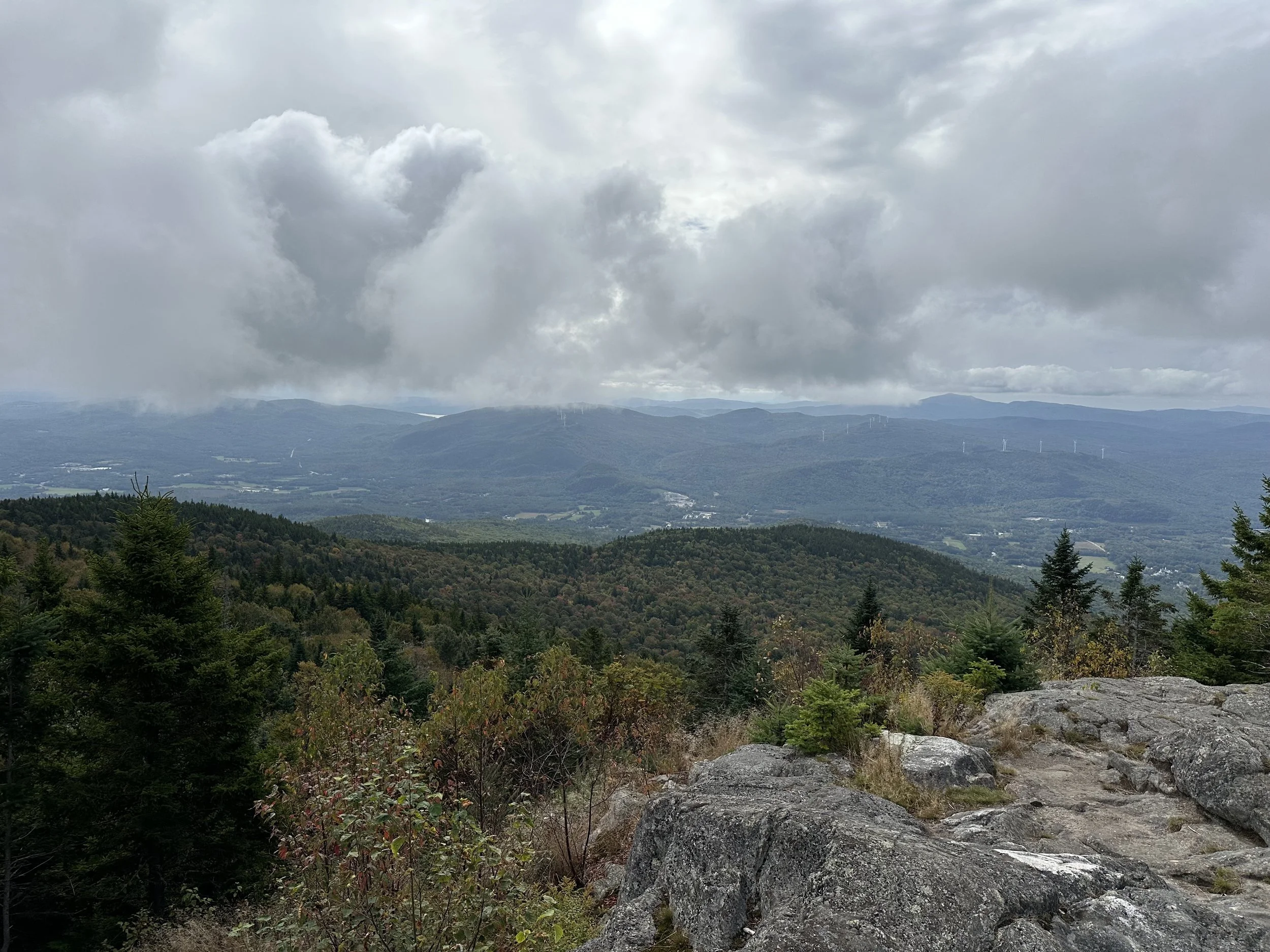
Stinson Mountain (2,890’) is in the southwestern corner of the White Mountains in New Hampshire and offers a quick hike with beautiful views. Although it does not have 360-degree views, an open ledge at the summit looks south to the surrounding mountains and windmills. And its view landed it on the 52 With a View List!
Trail Details
Trail: Stinson Mountain Trail
Length: 3.6 miles
Elevation Gain: 1,370 feet
My Trail Time: 1.5 hours hiking; 2 hours total
Hike Overview
Stinson Mountain Trail is the only trail leading the summit of Stinson Mountain. It is an easier hike with gradual elevation gain and no technical sections, making it the perfect hike to start with if you are just beginning your journey to complete the 52 With a View List.
The parking lot for Stinson Mountain is off a dirt road and only fits a handful of cars. Although it is not incredibly popular, I recommend arriving in the morning to secure a spot. Also, the trailhead is in a residential neighborhood, so only park in designated areas.
Looking to track your hikes while completing the 52 With a View List?
Whether you're chasing stunning summit views or documenting your adventures, this journal helps you track essential hike details, jot down memories, and reflect on your journey!
Each journal includes:
- individual pages for each mountain
- space to log stats about the hike
- sections to journal about your favorite moments
- completion tracker to celebrate your progress
- and fun extras like Hiking Bingo!
Stinson Mountain via Stinson Mountain Trail Guide
September 21, 2024
**Always remember to leave no trace. It is crucial to pack out what you pack in and throw away your trash properly.
I was looking for a quick and easy hike on the 52 With a View List because I was hiking again the following day, so I decided to hike Stinson Mountain. I have been avoiding most of the mountains on the 52 With a View List on the western side of the White Mountains because they are a bit of a drive for me, and the hikes are short, so I spend more time driving than hiking them, haha. But this day was the perfect opportunity to cross one of them off!
I started the hike to Stinson Mountain on a cool September morning around 10:30 AM. It was the first day in a few weeks with a temperature below 80 degrees, and I was excited to take advantage of it with a hike.
Even though I started the hike a bit later than usual, I was able to find parking in the small lot. It was pretty full, and if I had not hiked between summer and before the fall foliage peaks, I would have arrived a lot earlier to secure a parking spot.
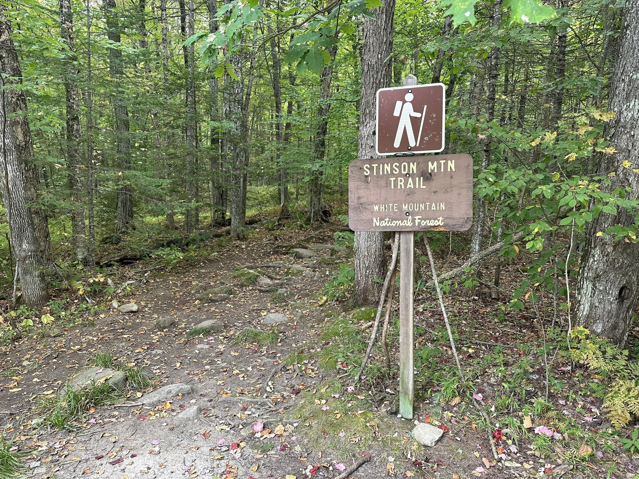
Stinson Mountain Trail began just behind the parking lot and was relatively flat for the first half-mile. It was a great warm-up for the rest of the trail! This section of the trail also intersected with a snowmobile trail, and I continued straight past the junction to stay on Stinson Mountain Trail.
Stinson Mountain Trail steepened gradually for the next 0.4 miles before intersecting with the snowmobile trail again. At the intersection, I continued to the left to follow along the snowmobile trail for the next 0.2 miles, where the trail crossed over a few bridges and continued to climb.
After 0.2 miles, Stinson Mountain Trail broke off to the right to continue to the summit. There was a small sign just before a large bridge pointing right to continue on the hiking trail toward Stinson Mountain.
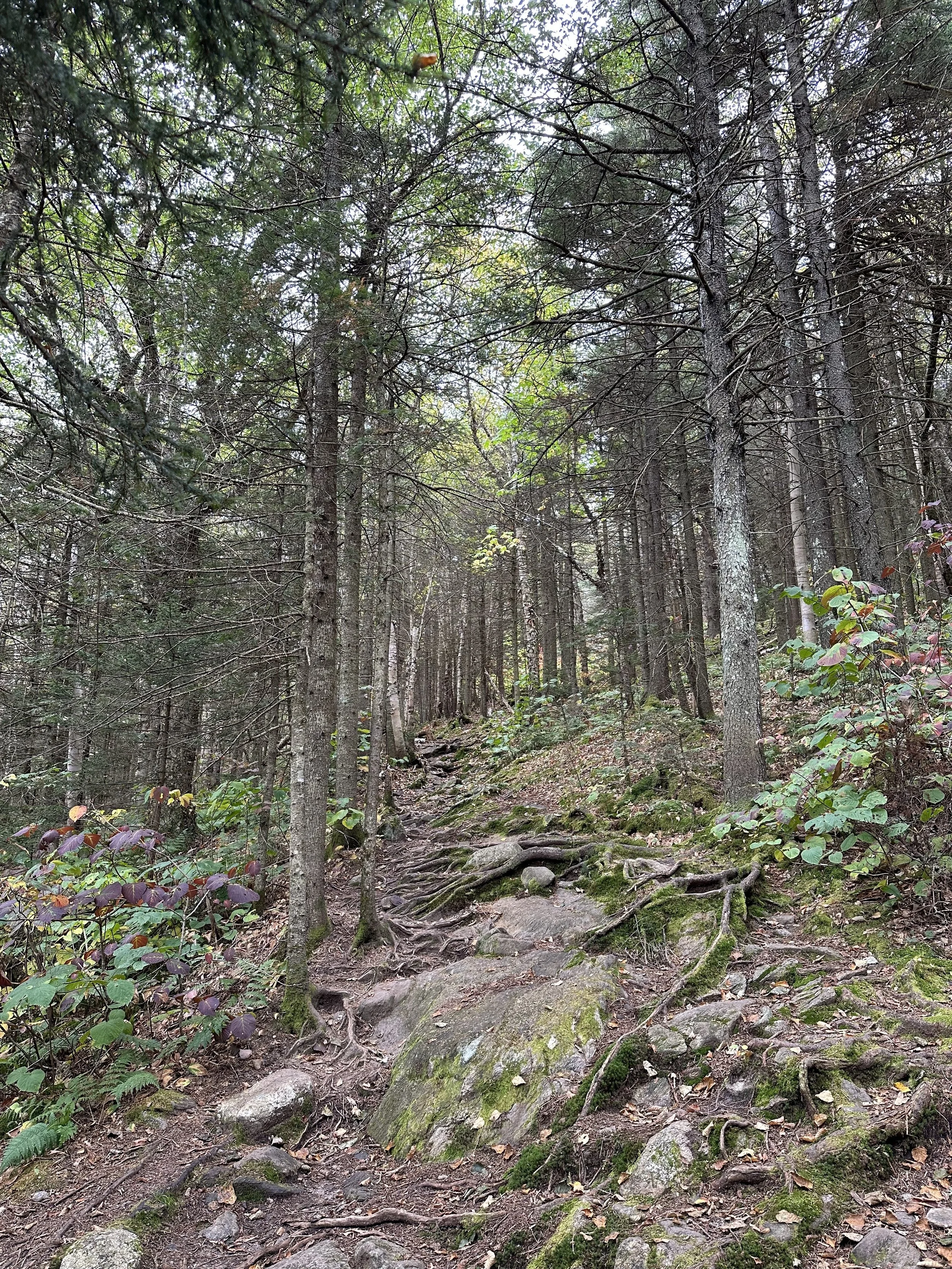
The last 0.7 miles was the steepest part of the trail as I made the final ascend to Stinson Mountain. This section of Stinson Mountain Trail also had many fallen leaves, which made it slick on top of the rocks and roots. The morning shower did not have the slick leaves either.
Just before the summit, I turned right at the sign pointing to the summit and continued to Stinson Mountain. Technically, I could have followed the snowmobile trail to the left to the summit. I climbed the short rocky slabs and finally made it to the summit!
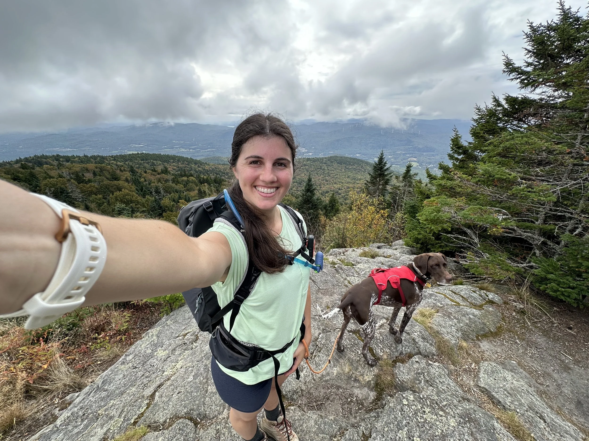
Although the views on Stinson Mountain were not 360 degrees, they were beautiful! We had some low clouds blocking some of the surrounding mountains, but they were moving quickly, so I hung out for about a half-hour, waiting to see more of the view.
The summit of Stinson Mountain also had the old footings and stairs, which are the last remnants of a fire tower. The fire tower on Stinson Mountain was built in 1927 and remained in service until 1967. It was later taken down in 1985, leaving only the footings and bottom stairs. I learned this from a small information board with photos of the old fire tower, which I loved!
When I was almost about to leave the summit, the clouds moved, offering beautiful views looking south. I had great views of the surrounding mountains and windmills in the distance. The trees were just starting to turn, sprinkling some color on the mountains, too. But the clouds were moving quickly and bringing a small rain shower, so I began the descent.
On AllTrails, the map showed the descent on the snowmobile trail and Stinson Mountain Fire Road, but I decided to follow the way I ascended on Stinson Mountain Trail. From experience, most of the fire roads in the White Mountains are overgrown, so I usually avoid them.
As soon as I finished my descent on the steepest section of the trail, I flew down the rest of it. I passed a few groups of hikers beginning their ascent, but it was otherwise pretty quiet. And before I knew it, I was back at the parking lot!
Stinson Mountain was one of the easier hikes on the 52 With a View List, and the views were beautiful! I think this would be a great foliage hike once it peaks.
Have you hiked Stinson Mountain?
Hey, I’m Nichole!
I am the creator behind Nichole the Nomad, the home of my explorations around the world, mountain hikes, and beautiful pictures taken along the way. I have a deep passion for capturing the world in a beautiful light and sharing my experiences.
I created this blog to share my travels, show how beautiful the world is, provide tips and tricks for traveling, and encourage you to explore. Whether you want to travel across the world or explore what’s in your backyard, I hope this blog inspires you to get outside and find your adventure!
