Mount Jefferson via Caps Ridge Trail

Disclaimer: This post contains affiliate links. If you click through and make a purchase, my blog may receive a commission at no additional cost to you.
Mount Jefferson Hike Overview
Mount Jefferson (5,712’) is the third tallest mountain of New Hampshire’s 48 4,000 Footers and is a part of the Presidential Range in the White Mountains. Caps Ridge Trail is the most popular trail to the summit, but it is not easy! The hike has steep rock scrambles, landing it on the Terrifying 25 List.
Trail Details
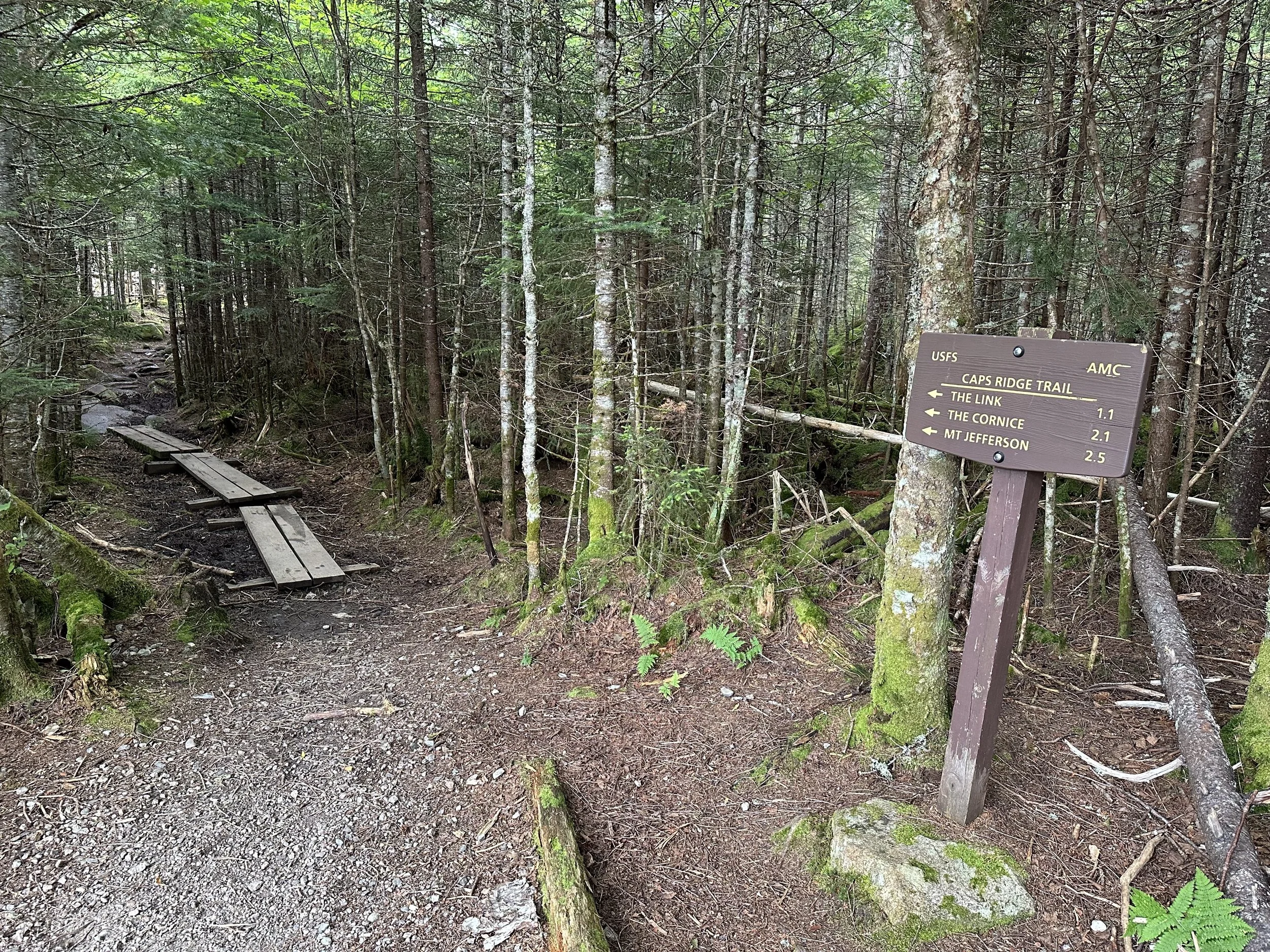
Trail: Caps Ridge Trail > Mount Jefferson Loop > Gulfside Trail > The Cornice > Caps Ridge Trail
Length: 6 miles
Elevation Gain: 2,700 feet
My Trail Time: 4 hours hiking, 5 hours total
Hike Overview
Mount Jefferson is the third tallest mountain in New Hampshire, offering stunning views of Mount Washington and the surrounding area. It also has the shortest trail to a Presidential, but that does not make it easy!
Caps Ridge Trail is the most popular route to Mount Jefferson and is usually hiked as and out-and-back. Although the trail is only 5 miles round trip, it gains over 2,700 feet of elevation. There are many steep and exposed sections on the trail that require rock scrambling and sometimes what feels like rock climbing.
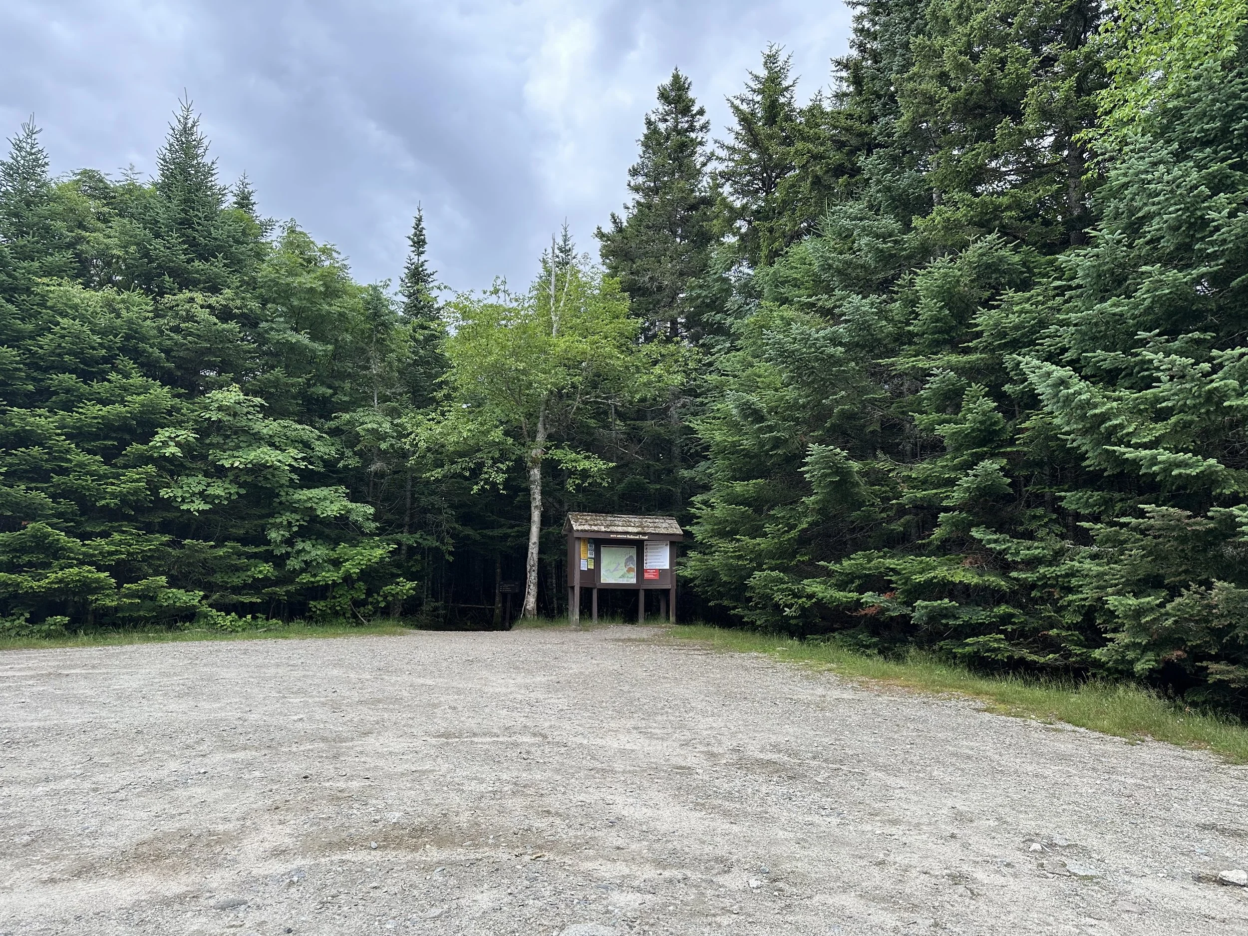
The parking lot if relatively small, and it can fill up quickly on weekends. I recommend arriving early to secure a spot, otherwise you will have to park in the overflow parking down the road.
Looking to track your hikes while completing the New Hampshire 4,000 Footer List?
Whether this is your first or tenth time completing the list, this journal is designed to help you track, reflect, and celebrate each summit!
Each journal includes:
- individual pages for each mountain
- space to log stats about the hike
- sections to journal about your favorite moments
- completion tracker to celebrate your progress
- and fun extras like Hiking Bingo!

Mount Jefferson Hike via Caps Ridge Trail Guide
September 26, 2020
**Always remember to leave no trace. It is crucial to pack out what you pack in and throw away your trash properly.
Mount Jefferson was my last peak to complete New Hampshire’s 48 4,000 Footers! I saved a short hike for last because the other trails I hiked in 2020 were all over 11 miles. It felt good knowing I only had a short hike to finish on!
My sister, her friend, and I began hiking to Mount Jefferson at 7:45 AM on a beautiful Saturday morning. We arrived early because the parking lot was small, and we heard it fills up so quickly, especially on weekends. The predicted summit temps were in the 50s, so we were so excited to have an incredible morning of hiking!
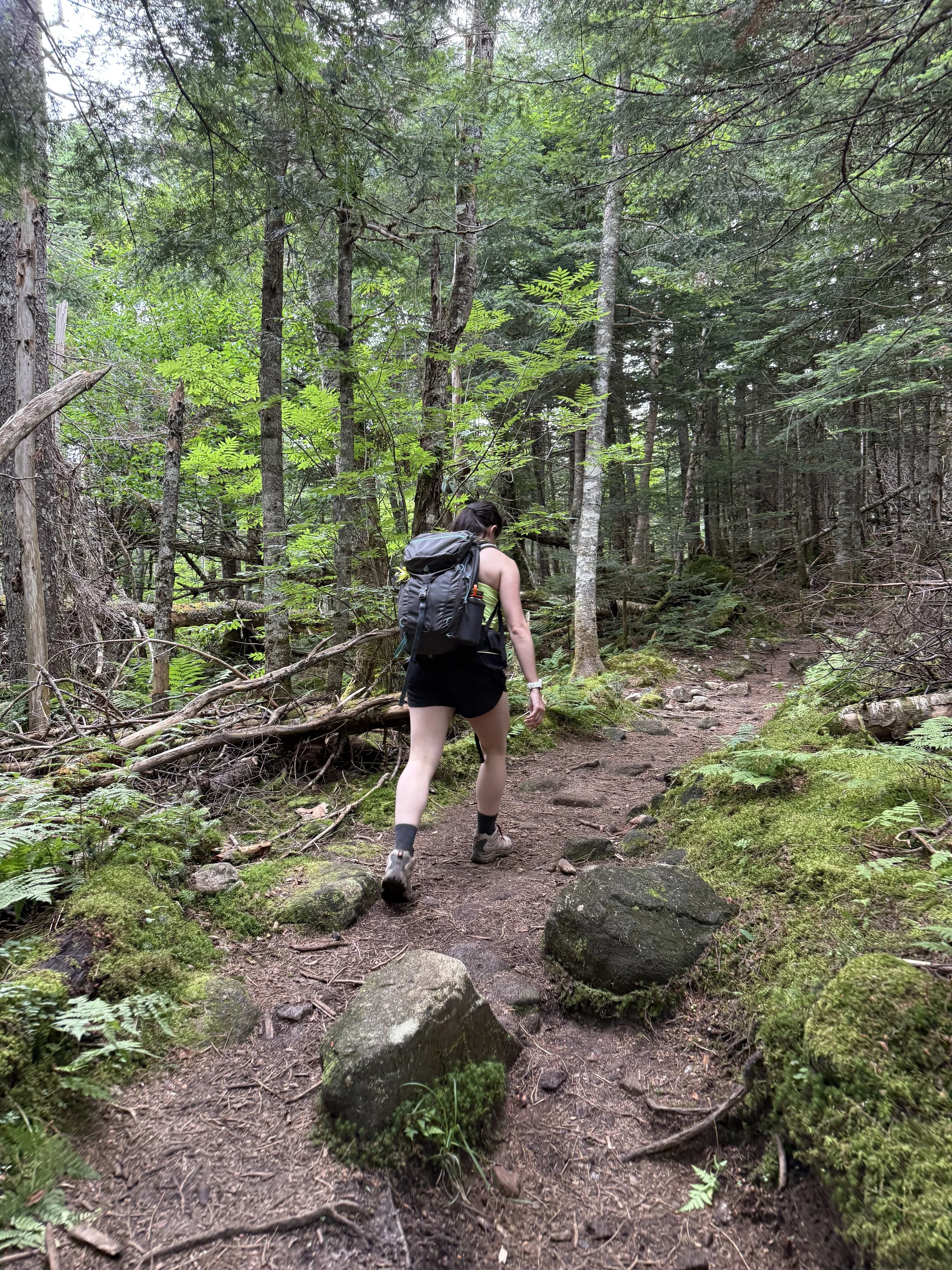
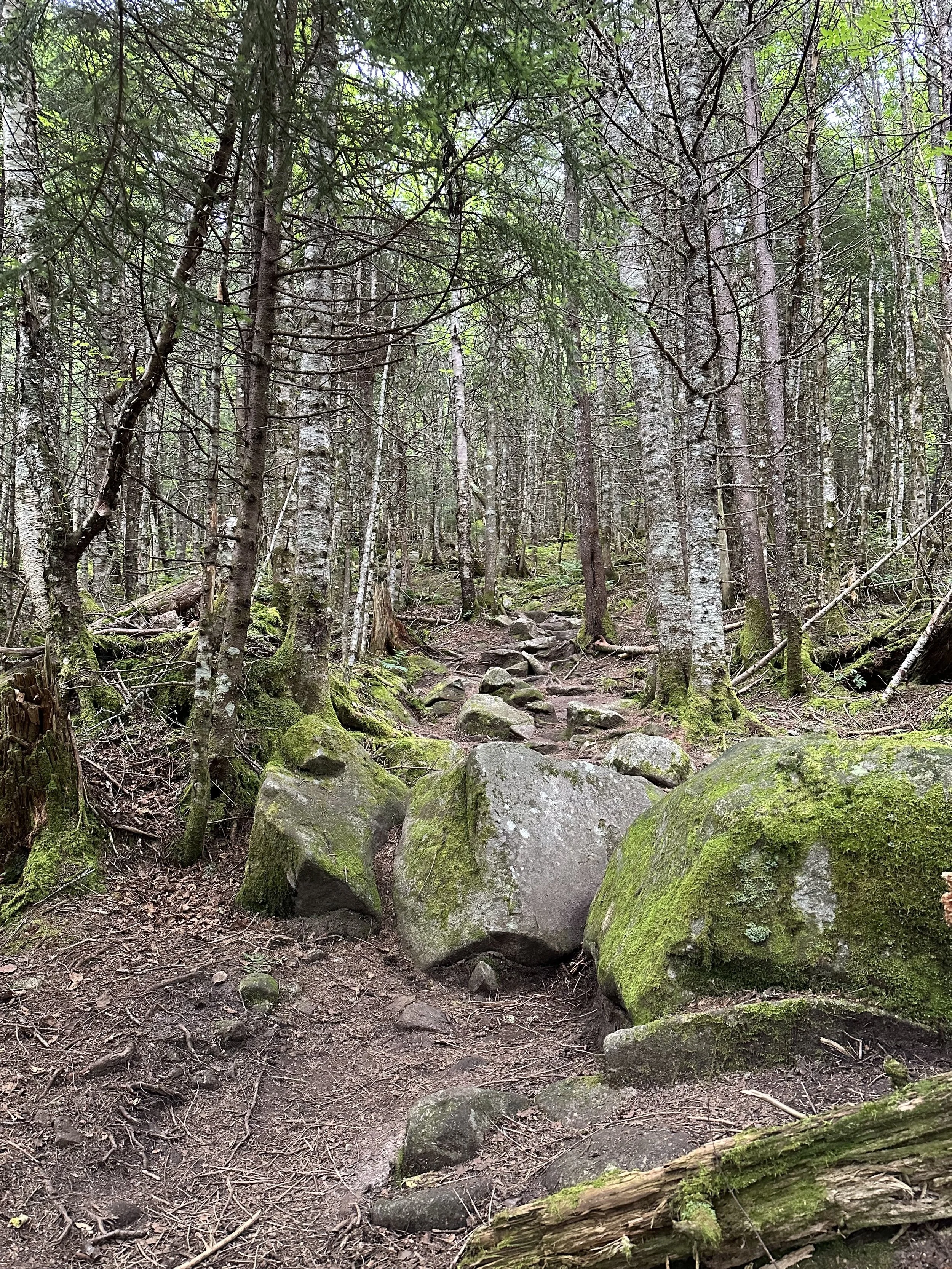
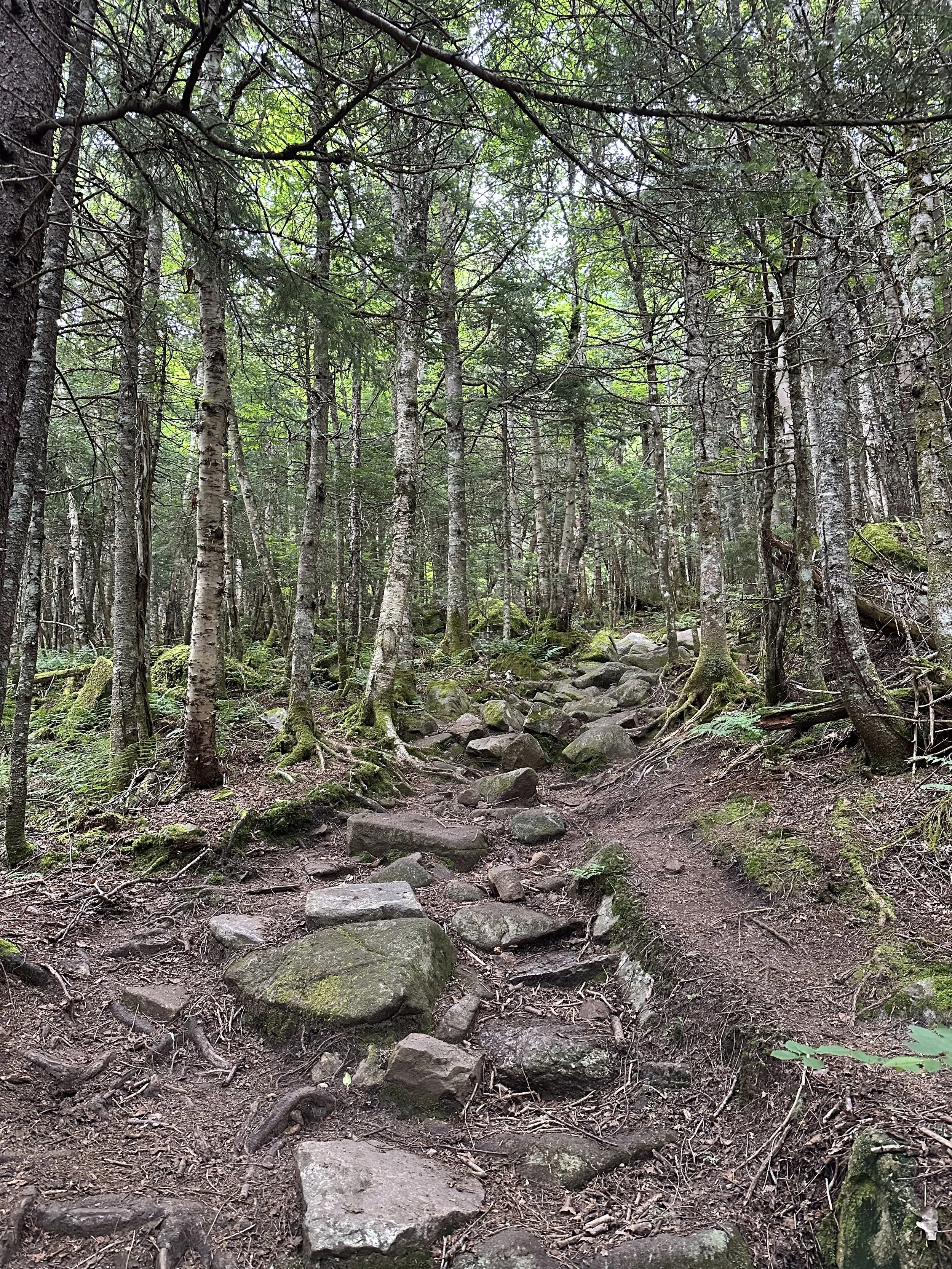
The first mile of the Caps Ridge Trail was relatively easy, and the elevation gain was gradual. It has the typical rocks and roots in the trail like most New Hampshire trails, but it was not overly technical. It was a nice warm up for what was to come!
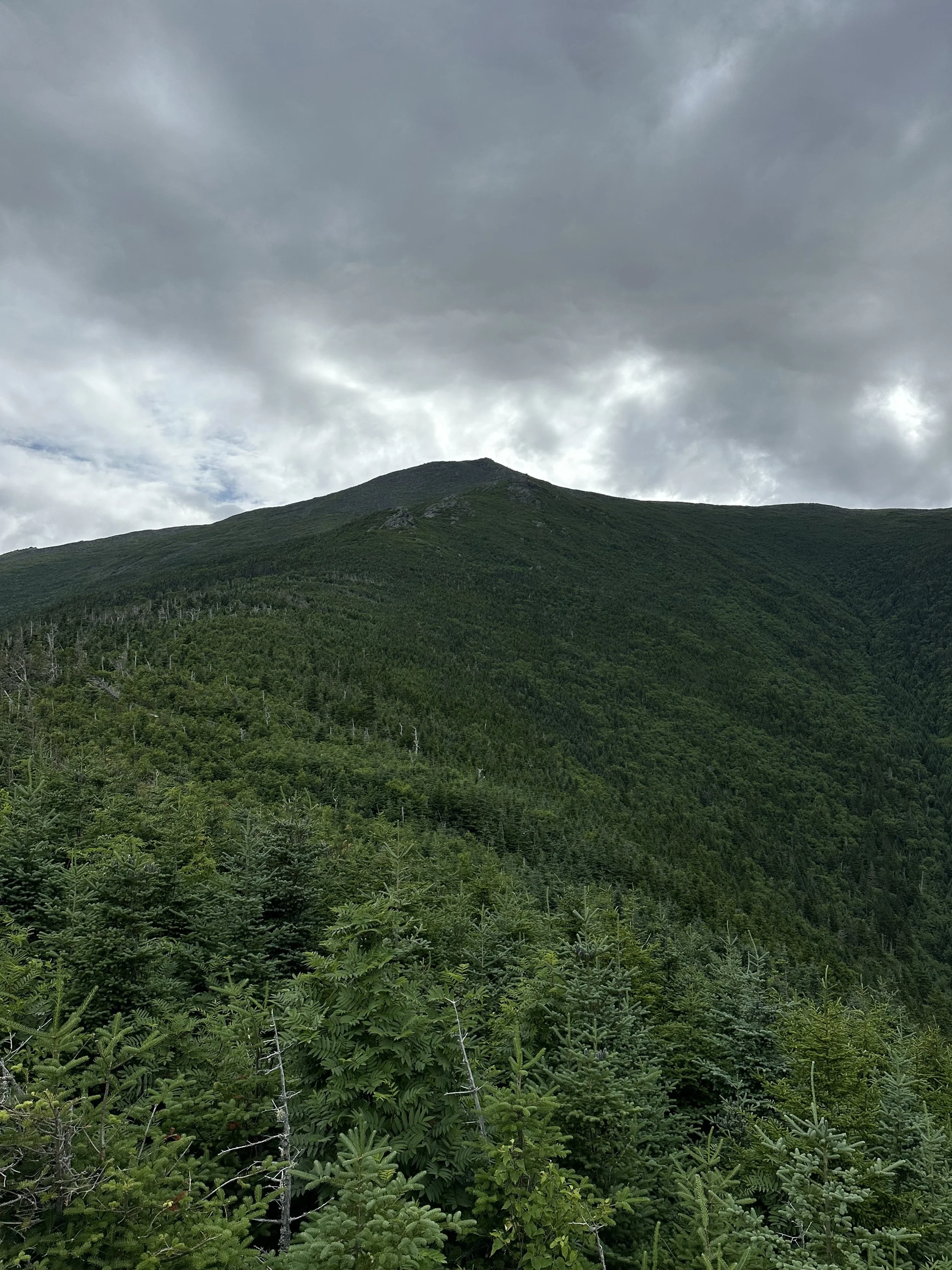
After one mile of hiking, we were rewarded with a beautiful lookout point overlooking Mount Jefferson and the rest of the Presidentials. It was a bit intimidating to see the rest of the trail and caps from the overlook, but we knew it always looks further than it really is.
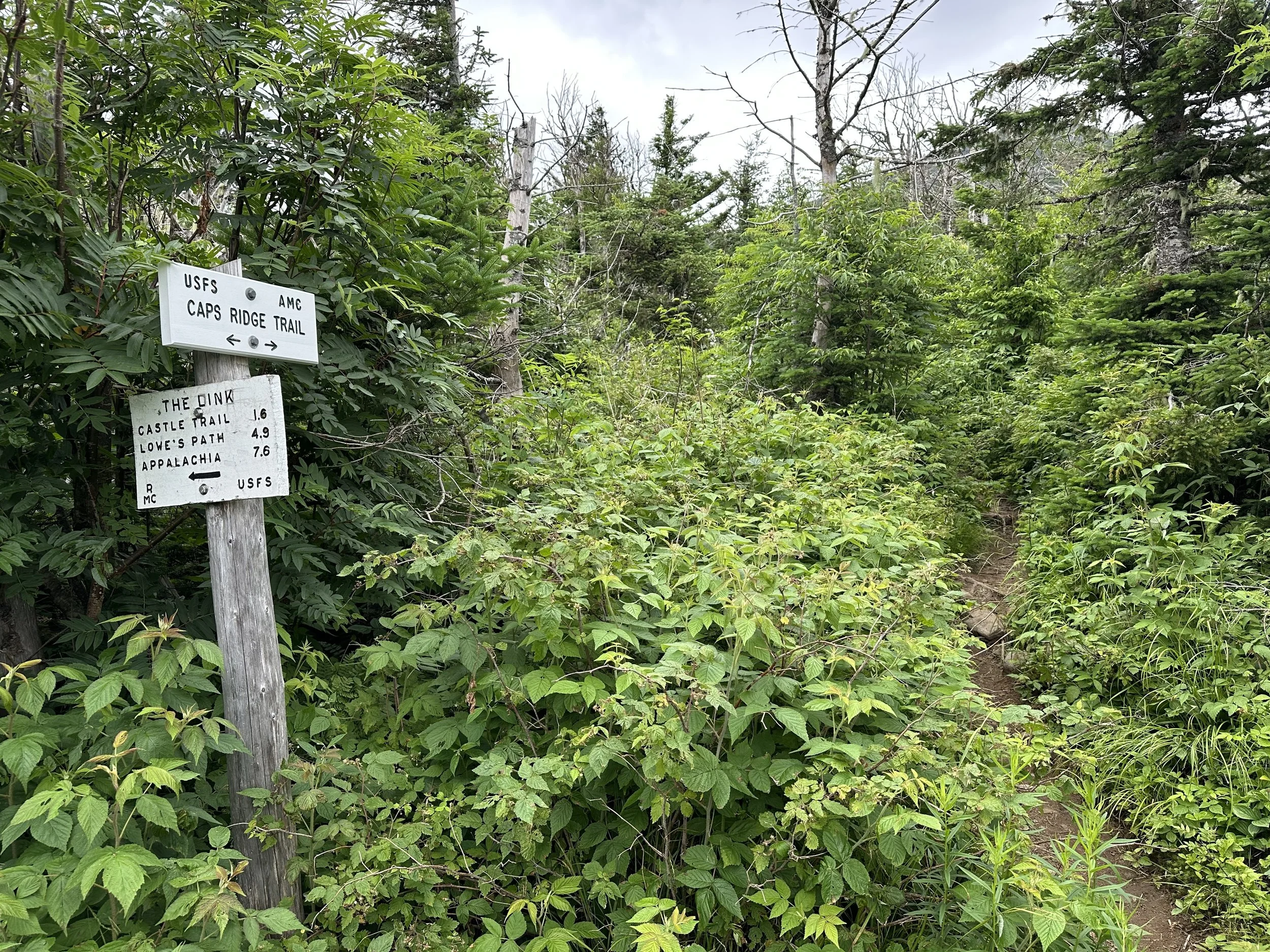
After the viewpoint, there was a junction with the Link Trail. From previous trail reviews, it is a much more gradual incline, but it is not well marked or traveled on, making it not easy to follow. We continued straight on the Caps Ridge Trail, where the real ascent began to Mount Jefferson!
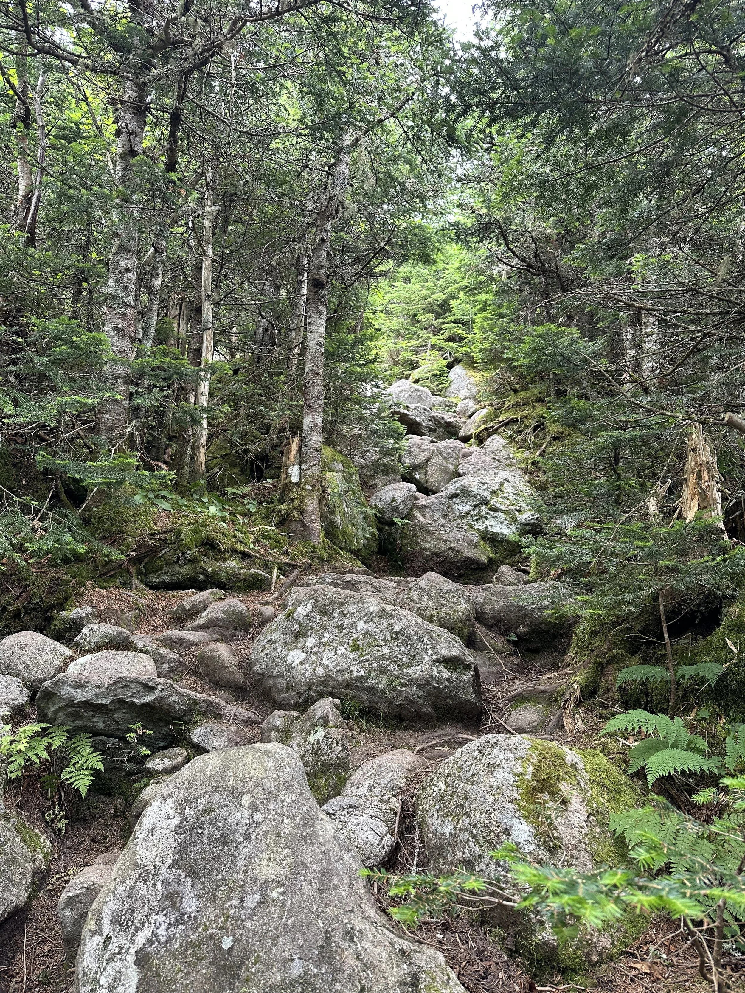
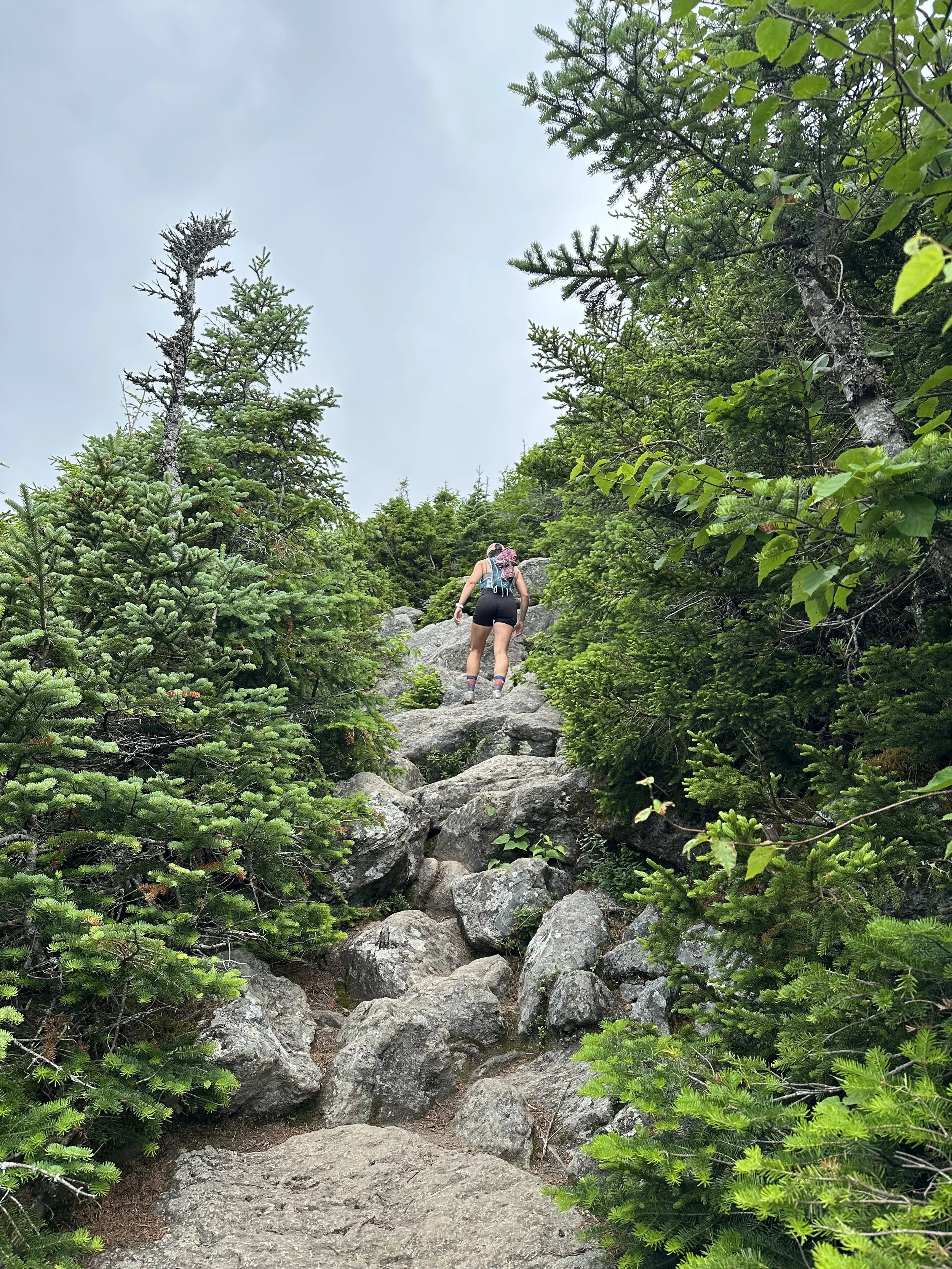
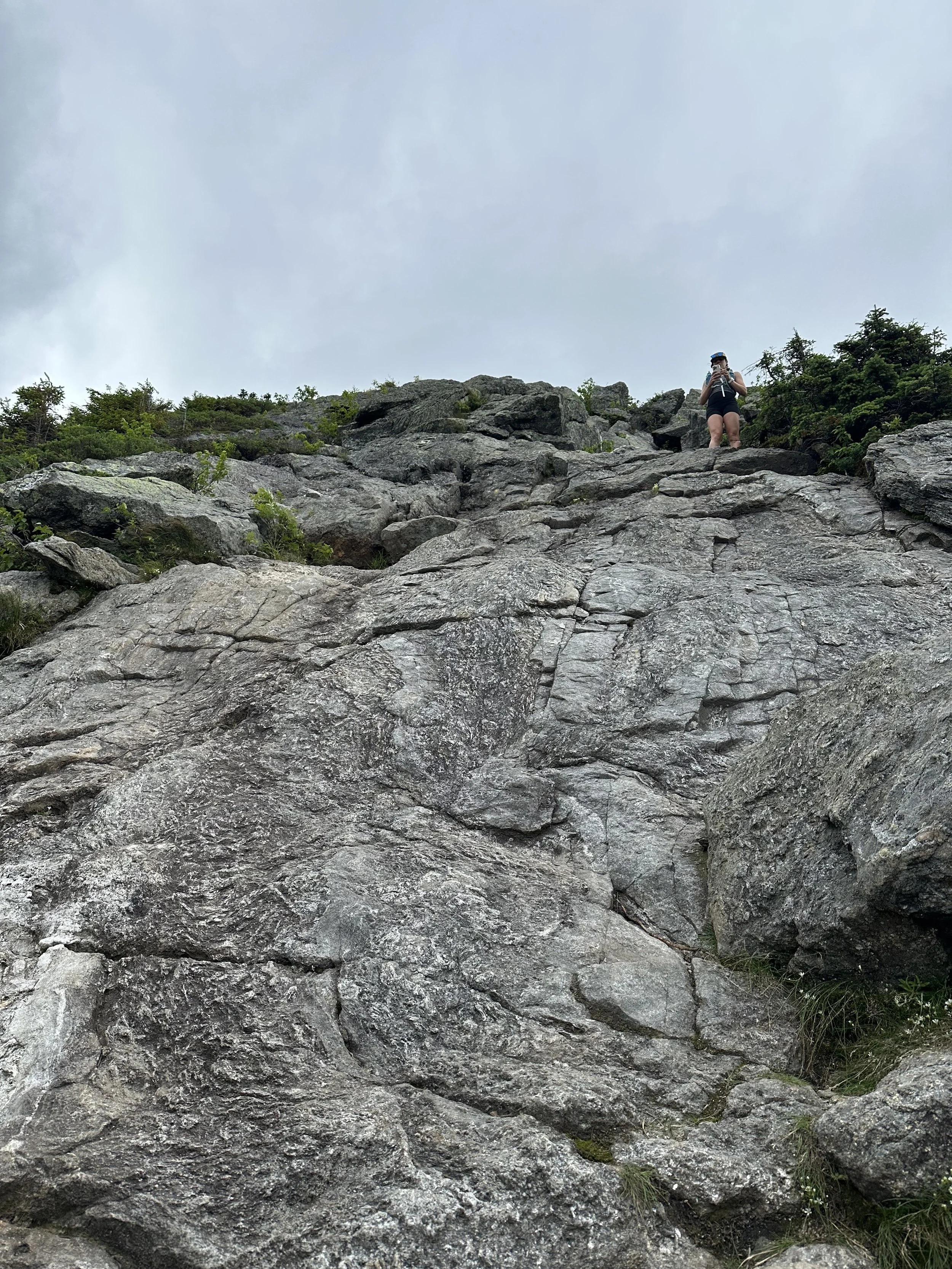
The trail gained elevation quickly, becoming steeper in areas. Some of the rocks were slick, which created a tricky footing situation, but we all helped each other whenever needed.
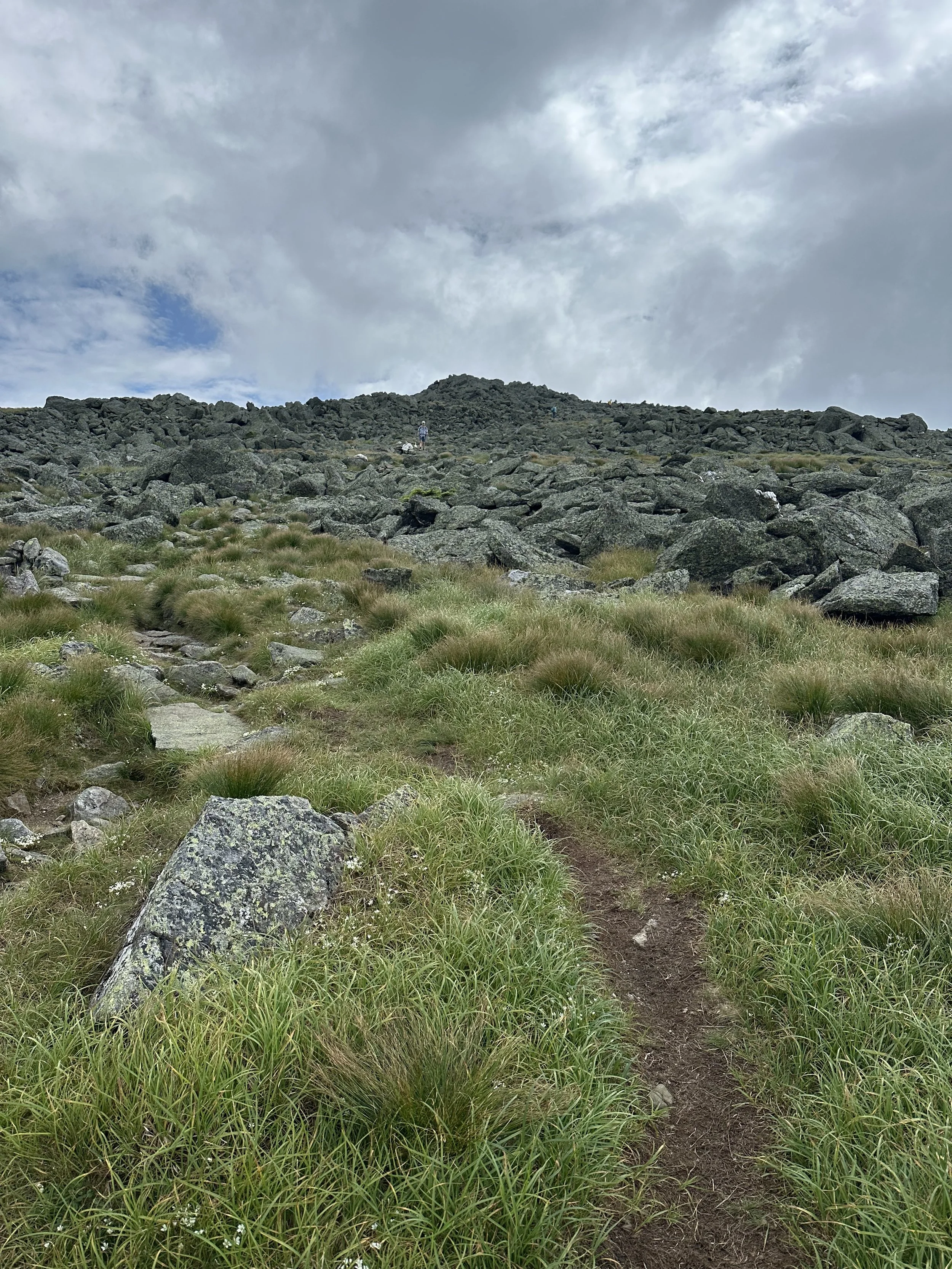
Before we knew it, we were above the treeline and could see the caps and Mount Jefferson. The first cap on Caps Ridge Trail was a great warm-up for the rest. It was very steep, but we had so much fun ascending it!
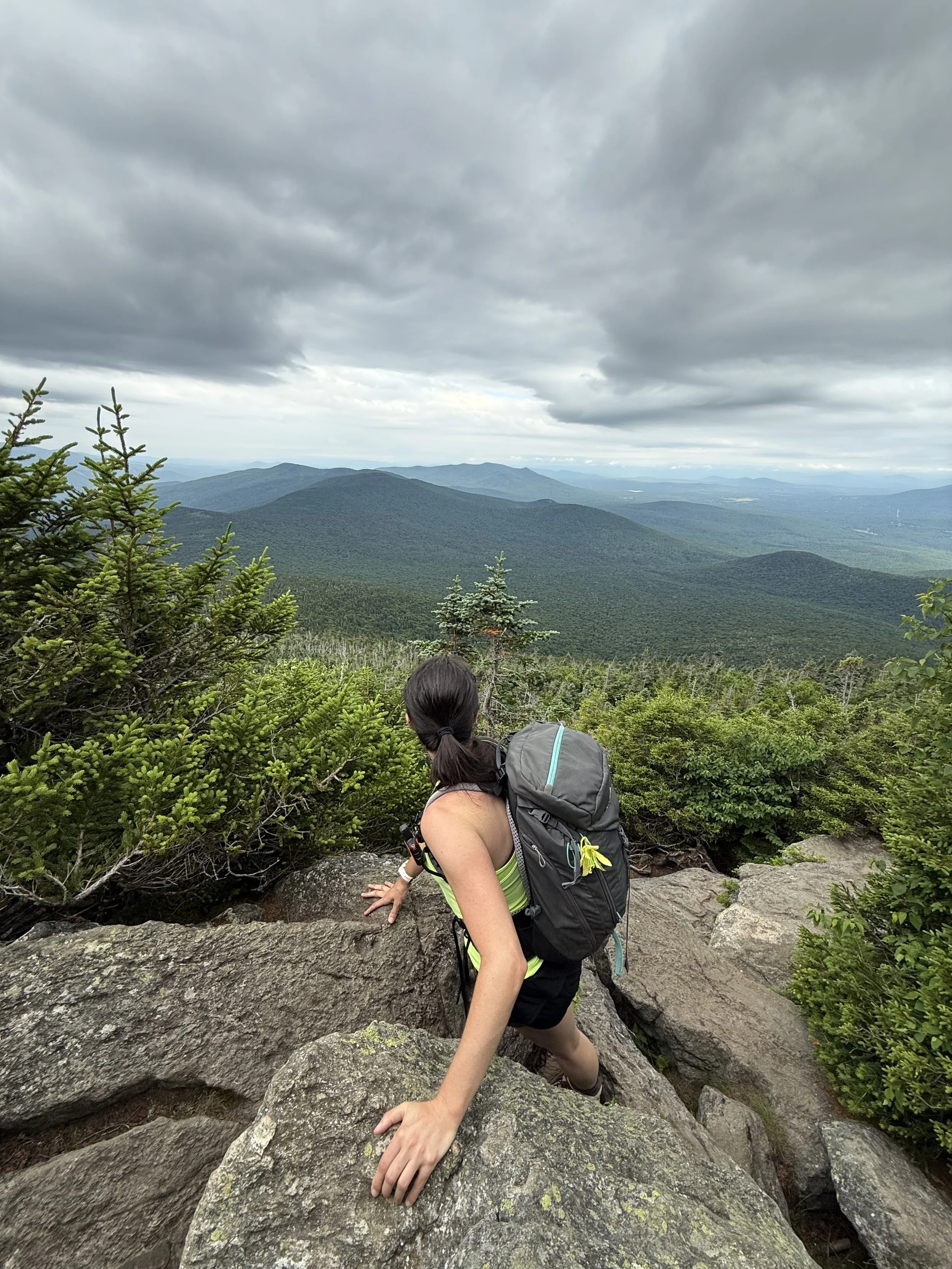
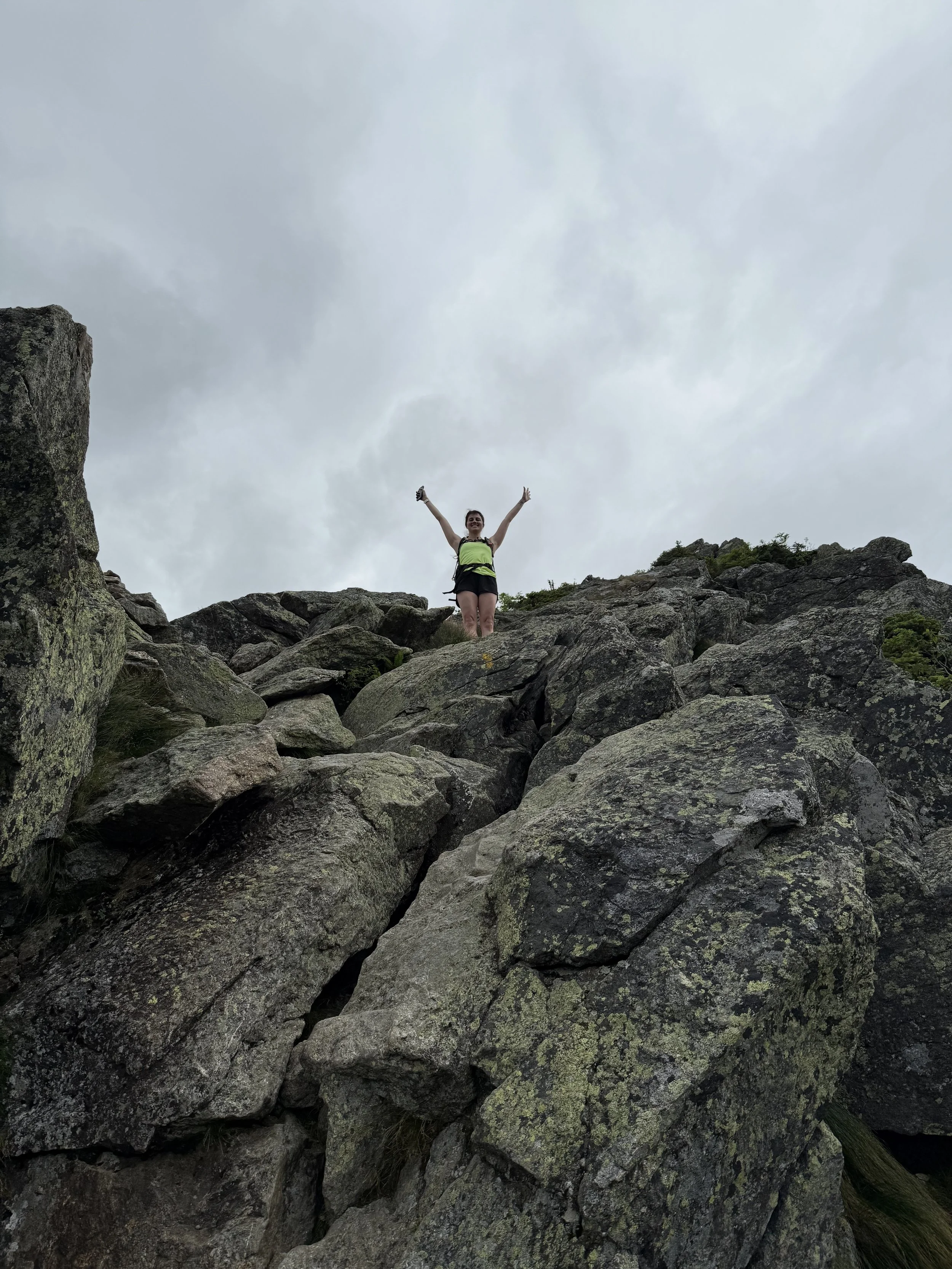
Once we completed the first cap, we were feeling good and excited to continue! The second cap had the second sketchiest rock scramble that was very steep. Looking up at it was intimidating, but it ended up being easier than it looked.
Then it was time for the third cap, which was easier than the others, but it was still very steep! We felt like pros at this point, so the third cap felt like a breeze compared to the first two.
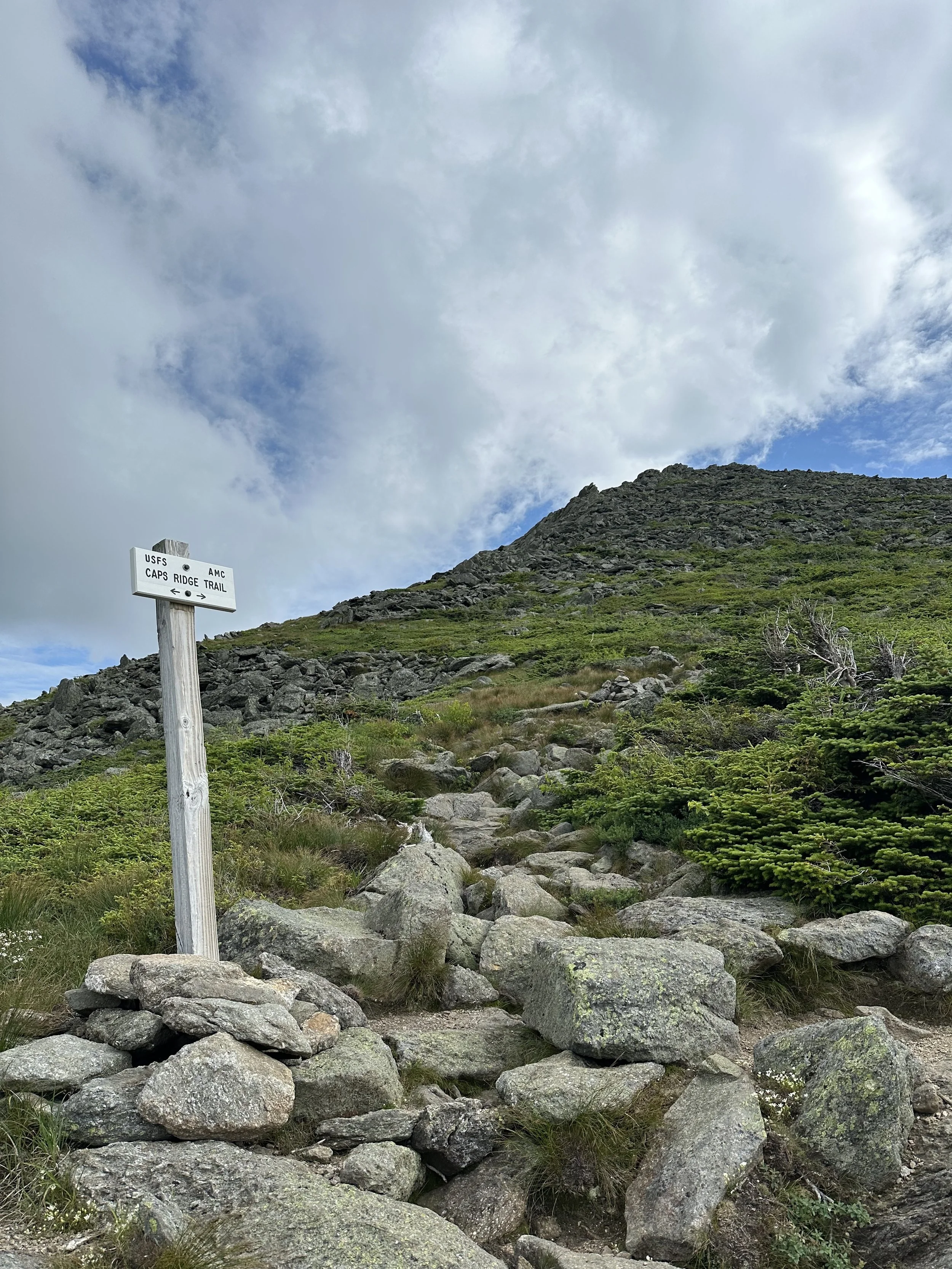
Once we conquered all three caps on the Caps Ridge Trail, we came to The Cornice intersection. The Cornice created a loop if followed to the right up to Mount Jefferson and was a more gradual ascent than continuing on the Caps Ridge Trail. We decided to continue left and climb the last 0.4 miles of the Caps Ridge Trail to Mount Jefferson.
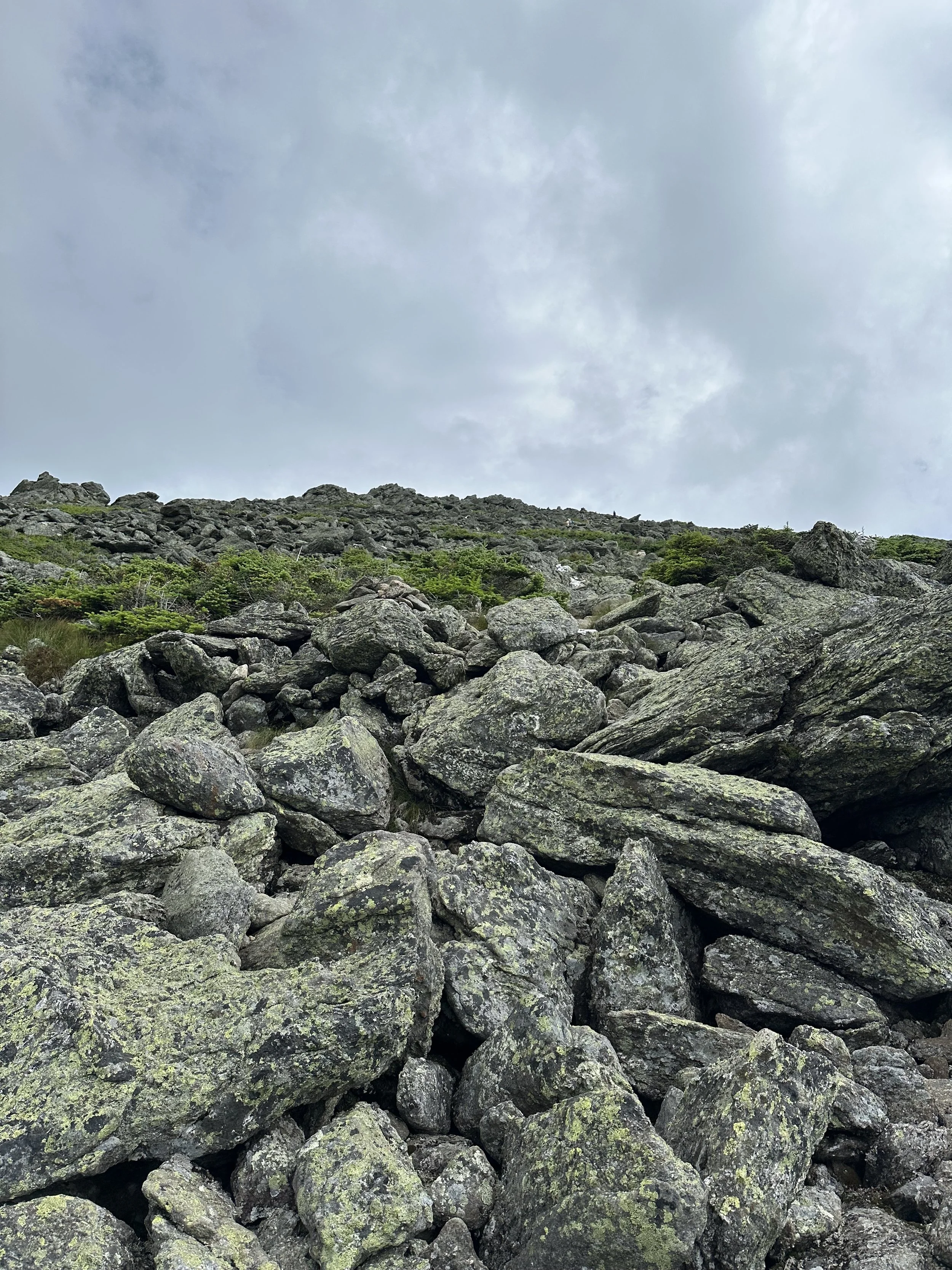
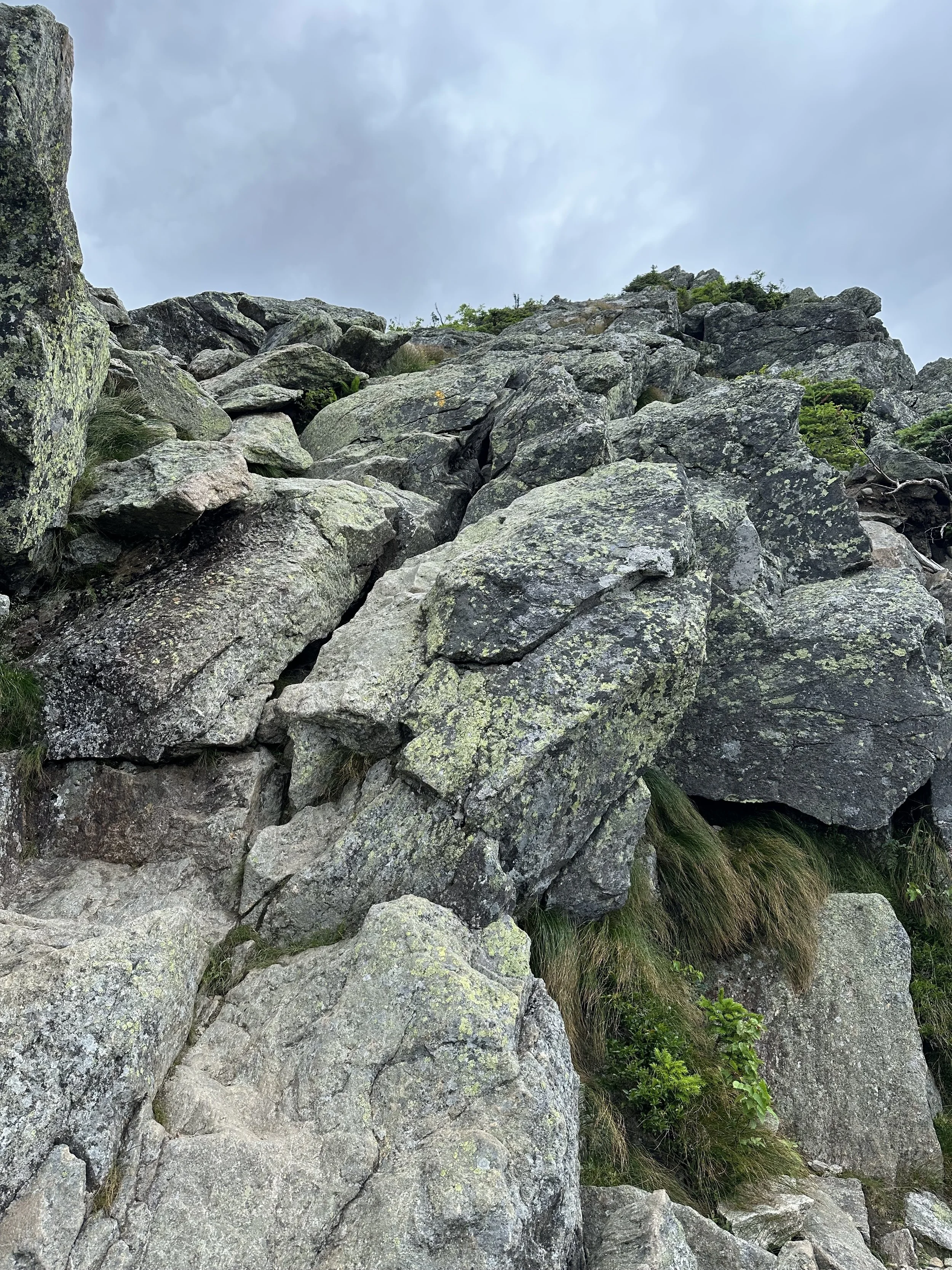
The final stretch of the Caps Ridge Trail felt a lot longer than it was because we had to boulder hop up to the summit of Mount Jefferson. The trail was difficult to follow at times, but we kept our eye on the rock cairns for guidance. The boulder field felt never ending but soon enough we saw the summit!

Before we knew it, we were at the summit of Mount Jefferson, and I had officially completed New Hampshire’s 48 4,000 Footers!! The weather was perfect except for the high winds, but we were able to tuck ourselves behind rocks to shield us from the winds.
We enjoyed donuts to celebrate and took in the beautiful foliage views. We spent 45 minutes at the summit, and as those minutes passed, more and more hikers were arriving at Mount Jefferson. As we looked down the trail, we could see an ant line of hikers heading up, so we decided to begin our descent before Mount Jefferson became overcrowded.

We decided to follow the Mount Jefferson Loop to have a more gradual descent, and we did not regret it! We followed the Mount Jefferson Loop, turned right on the Gulfside Trail, and then right on The Cornice. The Cornice was a little difficult to follow, but the rock cairns guided us until we reached the Caps Ridge Trail junction where we began our final descent.
Our descent on the Caps Ridge Trail was slow-moving at first because we had to butt slide on a lot of the rock scrambles. The trail was also packed, so we had to wait for hikers to ascend the steep sections before we could begin descending them. We took our time and helped each other on a few rock scrambles. There were a few steep sections that had my heartbeat racing because they were intimidating to look down at, but it was still fun!
After we descended the final cap on the Caps Ridge Trail, we were able to hike at a quicker pace since the trail was more gradual. We passed over 30 hikers on our descent, making us glad we began our hike early. And before we knew it, we were back at the parking lot!
I cannot believe I finally completed New Hampshire’s 48 4,000 Footers! The journey has been absolutely incredible, and I cannot believe it is over! I’m not sure what’s next for me, but I’m excited to take the next year and revisit a few of my favorite hikes and summits that I wasn’t able to see the views on because of the weather.
Have you hiked Mount Jefferson? How difficult did you think the Caps Ridge Trail was?

Hey, I’m Nichole!
I am the creator behind Nichole the Nomad, the home of my explorations around the world, mountain hikes, and beautiful pictures taken along the way. I have a deep passion for capturing the world in a beautiful light and sharing my experiences.
I created this blog to share my travels, show how beautiful the world is, provide tips and tricks for traveling, and encourage you to explore. Whether you want to travel across the world or explore what’s in your backyard, I hope this blog inspires you to get outside and find your adventure!