Mount Isolation via Glen Boulder Trail and Rocky Branch Trail

Disclaimer: This post contains affiliate links. If you click through and make a purchase, my blog may receive a commission at no additional cost to you.
Mount Isolation Hike Details
Mount Isolation (4,003’) is one of the most remote mountains in the White Mountains and is the second shortest 4,000 footer in New Hampshire behind Mount Tecumseh. It sits near Mount Washington, offering incredible 360-degree views of the Presidentials and surrounding mountains.
Trail details
Trail: Glen Boulder Trail > Davis Path > Isolation Trail > Rocky Branch Trail
Length: 12.5 miles
Elevation Gain: 3,900 feet
My Trail Time: 8 hours hiking; 8:30 hours total
Hike Overview
Mount Isolation has two main trails leading to the summit: Glen Boulder Trail and Rocky Branch Trail. You can hike either of those as an out-and-back, but I hiked it as a loop because we had a car spot.
The Glen Boulder Trail is very steep, gaining almost 4,000 feet of elevation in 3 miles, and brings you higher than Mount Isolation. If you hike Glen Boulder Trail as an out-and-back, you will gain an additional 1,000 feet of elevation hiking from Mount Isolation to the top of Glen Boulder Trail.
Rocky Branch Trail, on the other hand, is a very wet and muddy trail. If you have a car spot, I highly recommend hiking up Glen Boulder Trail to Mount Isolation and down Rocky Branch Trail.
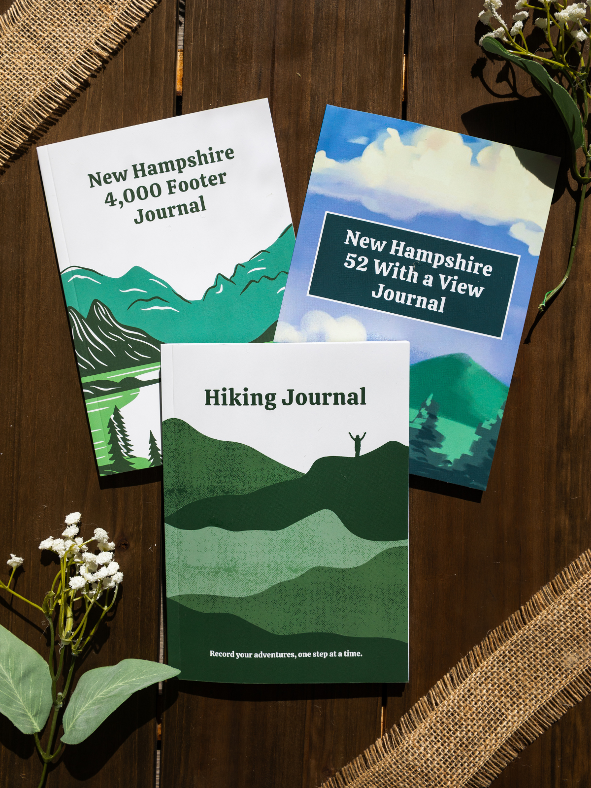
Looking to track your hikes while completing the New Hampshire 4,000 Footer List?
Whether this is your first or tenth time completing the list, this journal is designed to help you track, reflect, and celebrate each summit!
Each journal includes:
- individual pages for each mountain
- space to log stats about the hike
- sections to journal about your favorite moments
- completion tracker to celebrate your progress
- and fun extras like Hiking Bingo!
Mount Isolation Hike via Glen Boulder Trail Guide
September 8, 2020
**Always remember to leave no trace. It is crucial to pack out what you pack in and throw away your trash properly.
I was having such a hard time convincing someone to hike to Mount Isolation with me, so I posted in a Facebook group to find a hiking partner and found two amazing women to hike with me! We met up at the trailhead at 7:00 AM, planning to begin our hike right on time. Well… the universe had other plans. I locked my keys in my car with all of my hiking stuff (yay) and had to call AAA. At 8:30 AM, AAA came to the rescue, so we began our hike at 9:00 AM!
When we began our hike on Glen Boulder Trail to Mount Isolation, it was a gray and gloomy day, but we were hopeful it would clear up. The winds were predicted to be over 40MPH in the afternoon, so we wanted to get to Mount Isolation’s summit before they began to pick up.
Glen Boulder Trail was a constant and relentless climb for 3.2 miles, but 2 miles of the trail was above the tree line, and the views were incredible! When we reached the tree line, the trail became very rocky, and we started rock scrambling. It wasn’t scary, but I wouldn’t recommend hiking Glen Boulder Trail if it recently rained. We were still in the clouds, so we didn’t have any views yet.
Soon enough, we saw Glen Boulder, which was a giant rock that seemed to be hanging onto the mountain by a thread. Once we passed Glen Boulder, we continued our steep ascent towards Davis Path. The clouds slowly started moving, showing us the incredible views around us. As we approached the Davis Path junction, the winds began to pick up, so we began to quicken our pace. Before we knew it, we were at the Davis Path junction!

From the Davis Path Junction, we could have continued right for 2.5 miles to Mount Washington, but we were only hiking Mount Isolation today, so we turned left. Davis Path is a beautiful trail that has 360° views and gradually descends to Mount Isolation for 2.5 miles. I could not get enough of the views once the clouds cleared, and I didn’t want to head back into the treeline.

Once we were back in the tree line, Davis Path becomes relatively flat until the Mount Isolation junction. We turned right to make our last steep ascent to Mount Isolation for 0.1 miles. We broke through the treeline at Mount Isolation’s summit and were rewarded with incredible views of Mount Washington and the other Presidentials. We enjoyed our lunch for a half-hour before beginning our descent on Rocky Branch Trail. I loved Mount Isolation’s summit and was reluctant to leave!
We hiked back down to Davis Path and turned left to follow the trail the way we came for 0.8 miles to the Isolation Trail junction. As soon as we turned onto Isolation Trail, it became muddy and wet, and some sections felt like we were walking through a stream. It wasn’t completely awful because we could rock hop past most of the mud spots, but it wasn’t fun either. Luckily, Isolation Trail is flat, so we were able to keep a quick pace.
After a quick 2.5 miles, we arrived at the Rocky Branch Trail junction and turned left to continue our descent. The Rocky Branch Trail was just as wet and muddy as Isolation Trail for most of the trail. Other than mud and wet rocks, the trail was uneventful. We kept our heads down and slogged through the final 3+ miles of Rocky Branch Trail. The last half-mile was relatively flat, so I began to jog to the parking lot. When we reached the car at 5:30 PM, we were so happy to be off the slog that is Rocky Branch Trail. I did not want to imagine how the trail is when it was not a drought...
Although Rocky Branch Trail was muddy and wet, I would not have opted to gain another 1,000 feet of elevation to descend on Glen Boulder Trail from Mount Isolation. The hike to Mount Isolation is difficult, so I would not have looked forward to hiking Glen Boulder Trail out. Although, the views from Mount Isolation to Davis Path and past Glen Boulder would have been beautiful!
Have you hiked Mount Isolation? Which trail did you take to Mount Isolation: Glen Boulder Trail, Rocky Branch Trail, or both?

Hey, I’m Nichole!
I am the creator behind Nichole the Nomad, the home of my explorations around the world, mountain hikes, and beautiful pictures taken along the way. I have a deep passion for capturing the world in a beautiful light and sharing my experiences.
I created this blog to share my travels, show how beautiful the world is, provide tips and tricks for traveling, and encourage you to explore. Whether you want to travel across the world or explore what’s in your backyard, I hope this blog inspires you to get outside and find your adventure!