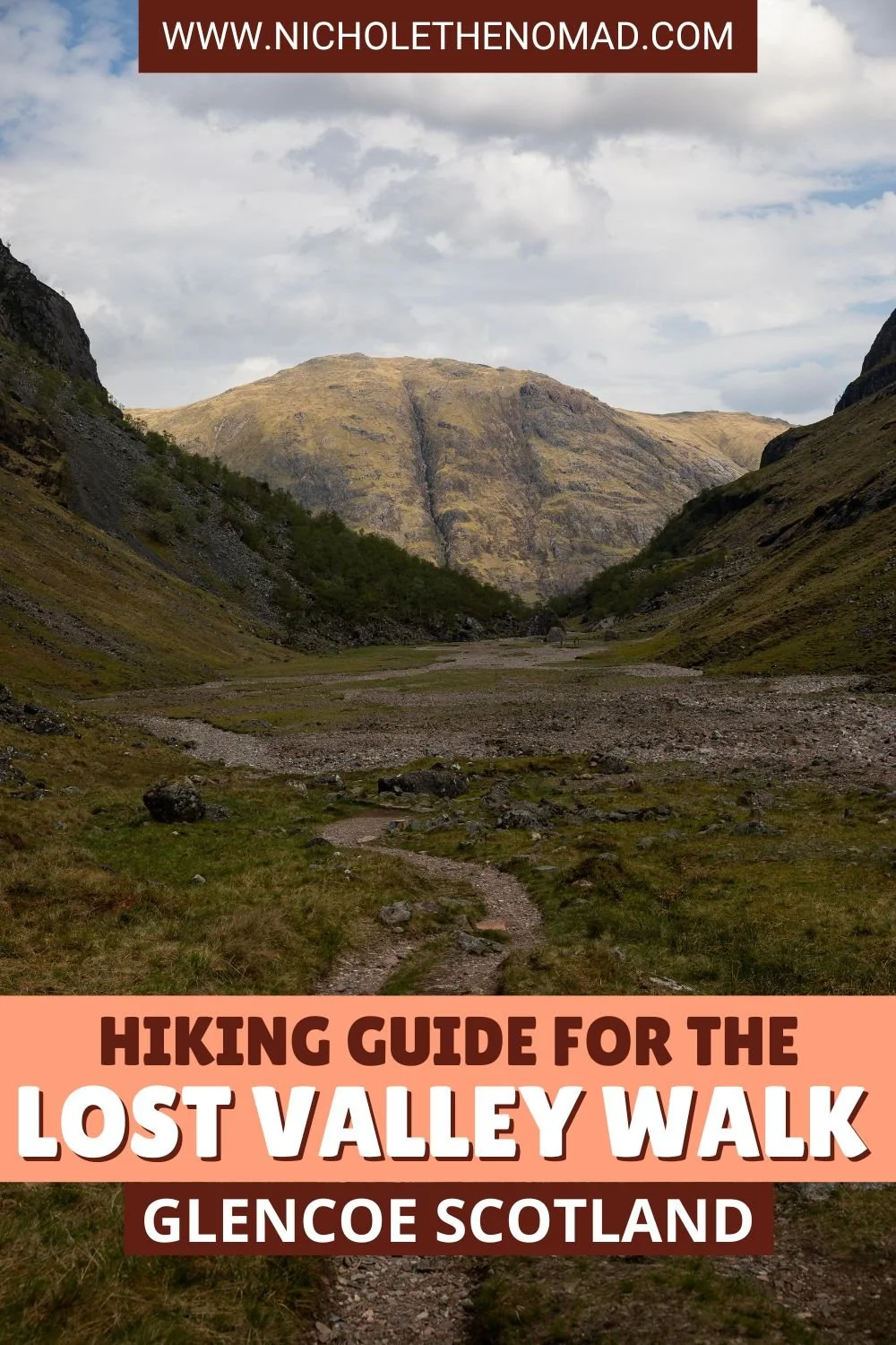
How to Hike the Lost Valley Walk (Coire Gabhail) in Glencoe
Glencoe is one of the most beautiful areas in the Scottish Highlands and should be on every bucket list. Although you can enjoy the stunning views from scenic drives and roadside viewpoints, hiking is one of the best ways to experience Glencoe. And one of the best hikes is the Lost Valley Walk (Coire Gabhail).
As soon as I saw photos from the Lost Valley Walk, I knew we needed to add it to our Glencoe itinerary. I read amazing reviews about the hike, and let me tell you, it did not disappoint because the views were stunning!
If you want to hike the Lost Valley Walk, you are in the right place! I created this guide to have everything you need to know about hiking the Lost Valley Walk in Glencoe.
Get ready to add this beautiful hike to your Scotland bucket list!

Disclaimer: This post contains affiliate links. If you click through and make a purchase, my blog may receive a commission at no additional cost to you.
How to Get to the Lost Valley Walk (Coire Gabhail)
Since public transportation in Glencoe is limited, the easiest way to get to the Lost Valley Walk trailhead is by car.
The Lost Valley Walk shares the same parking lot as the Three Sisters Viewpoint along the A82. Here is the parking lot on Google Maps so you can save it.
Because the Three Sisters Viewpoint is a popular area and the Lost Valley Walk is one of the most hiked trails in Glencoe, the parking lot fills up quickly. I recommend arriving first thing in the morning to get a spot and enjoy the hike with fewer crowds. We arrived around 10 AM and had to park down the street because the lot was full.
The trail begins on the east side of the parking lot and makes its way towards the valley. This area has a few connecting trails, and I always recommend having a trail map to make sure you are on the correct trail.

Lost Valley Walk Overview
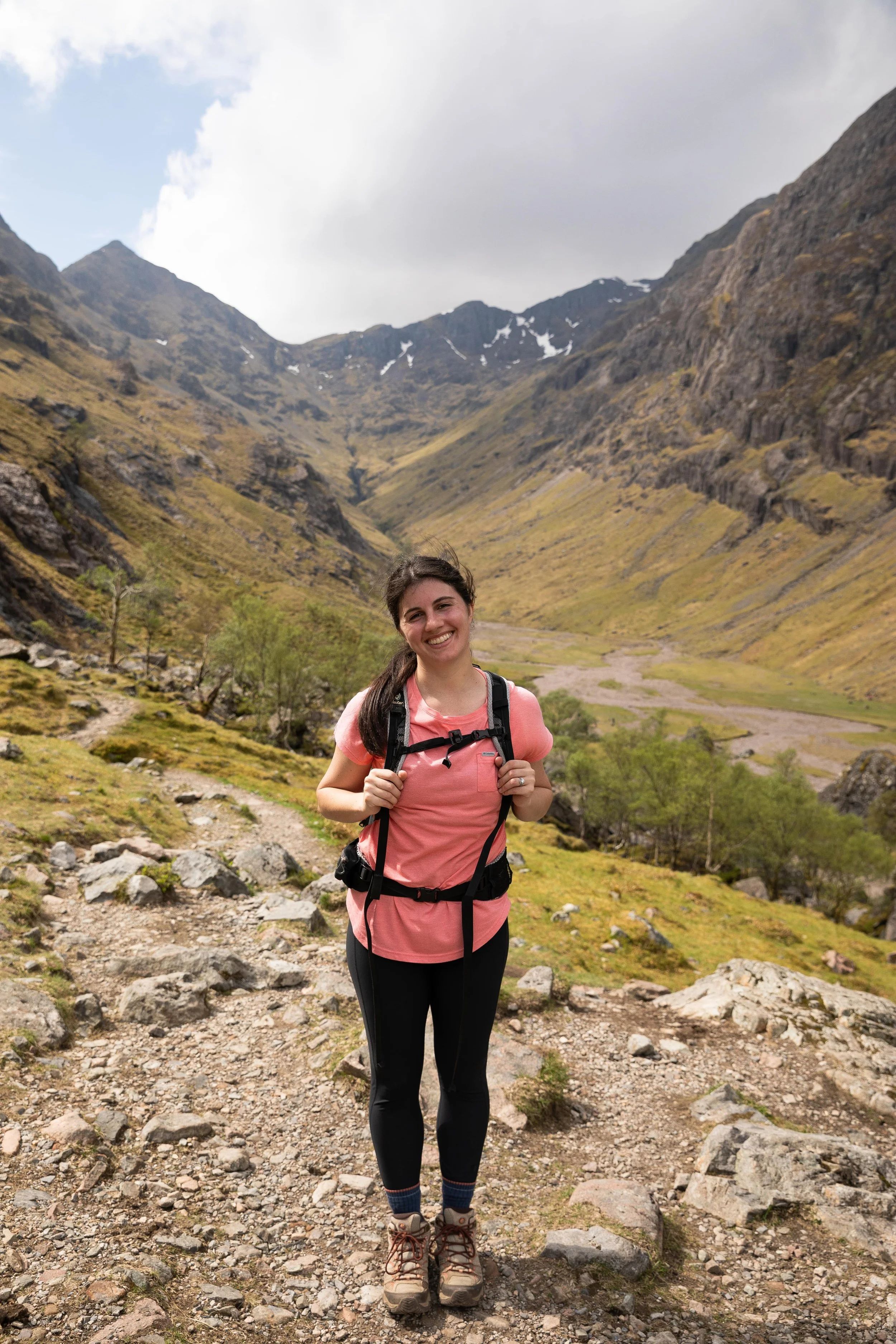
The Lost Valley Walk is a fun hike with stunning views of the surrounding mountains. You gain most of the elevation during the last half of the first mile, where the trail ascends steeply to the top of the valley. This section of the trail gains about 800 feet of elevation in a half-mile, making you work for the views!
Although the Lost Valley Walk is steep, the trail is well-maintained with stone steps to help you ascend the steepest sections. The views once you are out of the forest are stunning and make the effort worth it!
Lost Valley Walk Hiking Stats
Length: 4 miles (6.4 km) round trip
Elevation gain: 1,100 feet (335 meters)
Difficulty: Moderate
Best time to hike: Summer and Fall
Facilities: The closest restrooms are in Glencoe.
Lost Valley Walk Trail Map
What to Pack for the Hike
The weather in Scotland can be unpredictable, especially in the highlands, making it crucial to pack the right gear and layers for the season you visit.
The highlands are also known for their rainy and moody weather, and I recommend packing a rain jacket no matter what time of year you visit.
This is a great baseline for what to pack, and you can adjust as needed:
- hiking boots
- moisture-wicking clothes
- hiking backpack
- food and water
- rain jacket
- fleece jacket
Step-By-Step Guide to Hiking the Lost Valley Walk (Coire Gabhail)
The Lost Valley Walk is one of the most popular hikes in Glencoe, for good reason! The views of the valley and surrounding mountains are stunning. Although the trail is steep, making you work for the views, the effort is worth it!
**Always remember to leave no trace. It is crucial to pack out what you pack in and throw away your trash properly.
Lost Valley Walk Parking
The Lost Valley Walk trailhead is in the same parking lot as the Three Sisters Viewpoint along A82. We started our hike later in the morning, around 10 AM, and the parking lot was full, so we had to park further down the road.
Despite the parking lot being full, we did not pass as many hikers along the Lost Valley Walk as we anticipated. But I still recommend starting the hike in the morning to secure a parking spot and enjoy the area with fewer crowds.
Lost Valley Walk Trailhead to the River
The trail begins on the right side of the parking area and travels along a well-maintained path towards the mountains for almost a half-mile. This section of the trail has stunning views of the Three Sisters and was honestly one of my favorite parts of the hike.

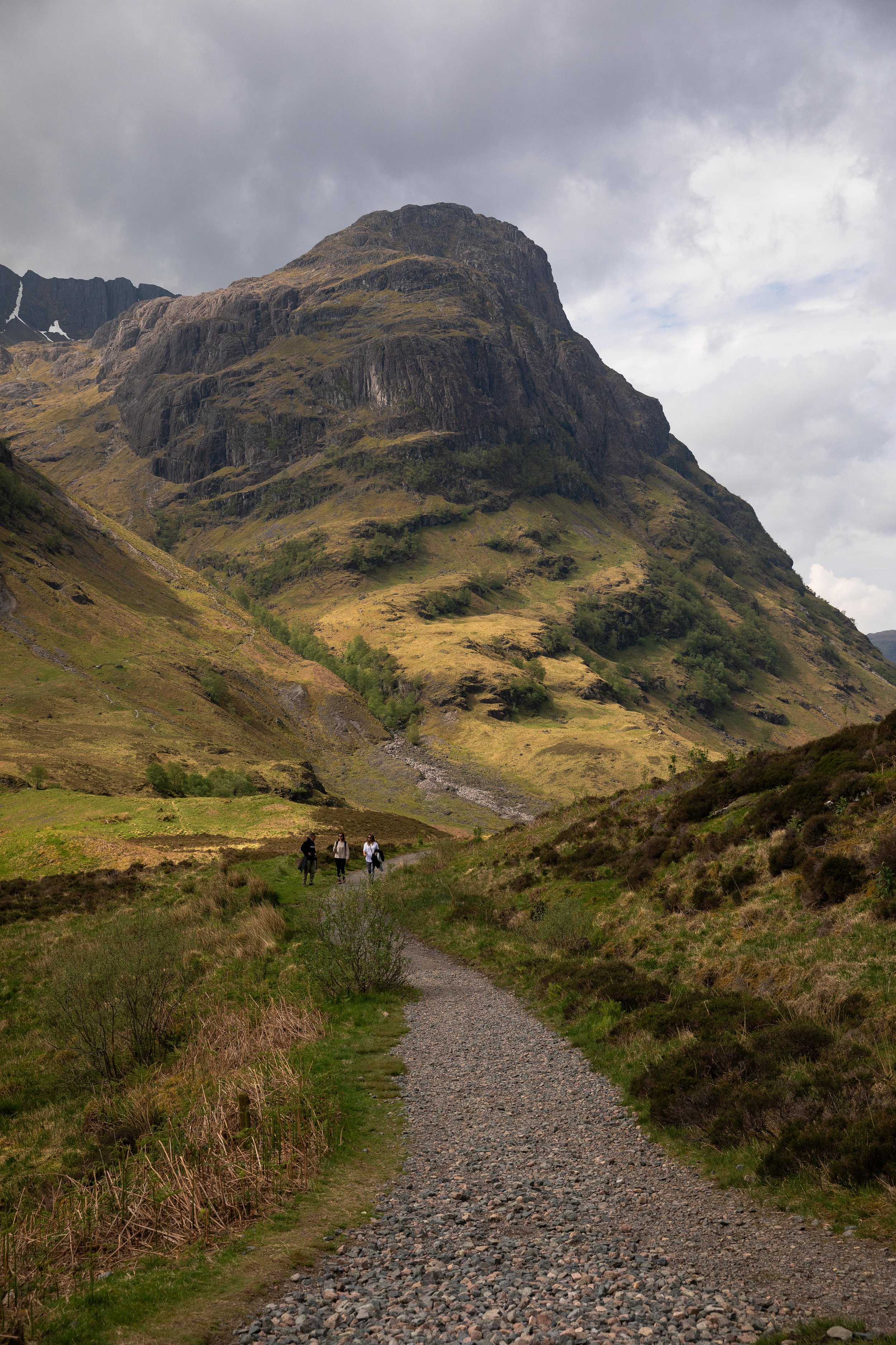
You will then soon reach the trees and descend steeply along a set of stairs before crossing a river. The trail crosses a bridge above a beautiful gorge before heading into the woods and beginning the steep ascent.
The River to Lost Valley Viewpoint
As soon as you cross the river, the trail ascends a steep, rocky trail. The rock is smooth, so I recommend using the chain along the side to help with the ascent. The trail was slightly wet when we hiked it, so we needed the chain to get us up this section.
Over the next half-mile on the Lost Valley Walk, the trail continues to ascend steeply. It begins traveling through a forest before breaking through the treeline and ascending a steep ridge. The trail has many rock stairs, making it a bit easier to climb this steep section.
During this steep section, you will come to a junction where you can hike in either direction. Both trails loop back together before the viewpoint.
We took the right trail to ascend to the ridge before arriving at the viewpoint. If you continue to the left, the trail follows along the river with a few steep drop-offs along its edge.
No matter which way you hike, the trails eventually connect just before the valley viewpoint. The last push on the Lost Valley Walk is steep, but once you arrive at the viewpoint, you will see why the effort was worth it!


The views of the valley and surrounding mountains are stunning. Most people we saw stopped here to enjoy a snack before turning around, but we decided to hike a bit further into the valley, which was fun! If you have the time, I recommend it.
Lost Valley Viewpoint into the Valley
The Lost Valley Walk descends into the valley along what looks like a dry riverbed. The views of the towering mountains on either side of the valley are beautiful!
We spent some time exploring the valley before turning around and making our way back towards the parking lot. Since most people turn around at the Lost Valley Viewpoint, we had the valley pretty much to ourselves.


The Valley to the Trailhead
On the way back, we took the other side of the loop that follows along the river, but you can hike the same way you ascended, too.
This section of the trail was beautiful with a few small waterfalls, but it quickly became narrow with steep drop-offs on the right near the river. The trail had a few eroded sections that made it a bit precarious, but overall, we did not have any issues hiking along this section.
Soon enough, we were on the last mile of the trail descending towards the river. We passed many people who started their hike around noon, and the trail was packed when we finished.
We were thankful to have started when we did. If we started early in the morning, I assume it would have been even less crowded.
Lost Valley Walk Frequently Asked Questions
Is the Lost Valley Walk worth it?
The Lost Valley Walk is absolutely worth it! It is one of the most popular hikes in Glencoe because the views are stunning. You get views of the Three Sisters at the beginning and views of the valley and surrounding mountains at the final viewpoint.
We loved hiking the Lost Valley during our trip to Glencoe!
How long is the Lost Valley Walk?
If you only hike to the Lost Valley Viewpoint, the trail is 3.1 miles (5 km) round trip. But if you want to hike into the valley as we did, it is 4 miles (6.4 km) round trip.
It takes about 2-3 hours to hike the entire trail. It took us about 2 hours, including stopping for snacks and photos.
We really enjoyed hiking into the valley because it gave us a unique perspective of the surrounding mountains, and I recommend doing the same if you have time! Even if you stop at the Lost Valley Viewpoint, you will not be disappointed with the views.
Where do you park for the Lost Valley Walk?
The Lost Valley Walk shares the same parking lot as the Three Sisters Viewpoint along the A82. Here is the parking lot on Google Maps so you can save it.
The parking lot is relatively small and fills up quickly because the Three Sisters Viewpoint is a popular area, and the Lost Valley Walk is one of the most popular trails in Glencoe. I recommend starting the hike in the morning to secure a parking spot and enjoy the hike with fewer crowds. We arrived around 10 AM and had to park down the street because the lot was full.
When is the best time to hike the Lost Valley Walk?
Although you can hike to the Lost Valley Walk year-round, I recommend enjoying it in the warmer months.
The Scottish Highlands are known to be wet, with about 265 days of rain a year, and the wettest seasons tend to be autumn and winter.
April, May, and June tend to be the driest months, so we visited in May, and it only rained once during our week in Scotland. Although Glencoe had moody weather for the few days we were there, we enjoyed the Lost Valley Walk without any rain.
If you want to hike the Lost Valley Walk, you are in the right place! I created this guide to have everything you need to plan a fun hike along the Lost Valley Walk in Glencoe.

Hey, I’m Nichole!
I am the creator behind Nichole the Nomad, the home of my explorations around the world, mountain hikes, and beautiful pictures taken along the way. I have a deep passion for capturing the world in a beautiful light and sharing my experiences.
I created this blog to share my travels, show how beautiful the world is, provide tips and tricks for traveling, and encourage you to explore. Whether you want to travel across the world or explore what’s in your backyard, I hope this blog inspires you to get outside and find your adventure!
Pin it for later!